


5,6 km | 7,1 km-effort
Etalle : Entdecken Sie die besten Touren : 2 zu fuß, 43 wandern, 1 nordic walking und 2 laufen. Alle diese Touren, Trails, Routen und Outdoor-Aktivitäten sind in unseren SityTrail-Apps für Smartphones und Tablets verfügbar.

Wandern


Zu Fuß
• Trail created by Gaume.
Wandern
Wandern

Zu Fuß
• Trail created by Gaume.
Wandern
Wandern

Wandern
Wandern
Wandern
Wandern
Wandern
Wandern

Nordic Walking

Laufen
Wandern
Wandern
Wandern
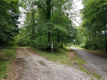
• belle randonnée
Wandern
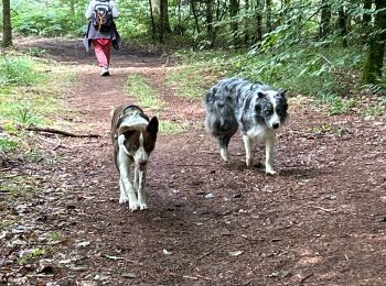
• Attention la nature reprend toujours vite ses droits, certains sentiers peuvent devenir moins praticables. Soyez touj...
Wandern
20 Angezeigte Touren bei 48
Kostenlosegpshiking-Anwendung
 SityTrail
IGN / Geografische Institute
SityTrail World
Die Welt öffnet sich für Sie