


22 km | 26 km-effort
Geilich : Entdecken Sie die besten Touren : 38 zu fuß, 158 wandern, 1 nordic walking, 2 laufen und 1 pfad. Alle diese Touren, Trails, Routen und Outdoor-Aktivitäten sind in unseren SityTrail-Apps für Smartphones und Tablets verfügbar.
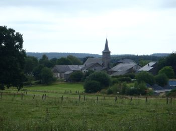
Wandern


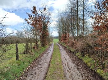
Wandern
•
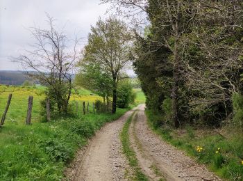
Wandern

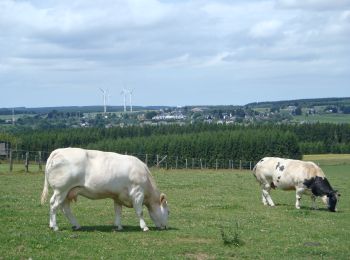
Wandern
Wandern
Wandern

Wandern

Wandern

Wandern
• Tronçon 1 de la boucle transfrontalière "Entre Meuse et Rhin" (55km)Au départ de la gare de Gouvy, la randonnée suit ...
Wandern
Wandern
Wandern
Zu Fuß

Wandern

Wandern

Wandern
Wandern
Wandern
Wandern
Wandern
20 Angezeigte Touren bei 198
Kostenlosegpshiking-Anwendung
 SityTrail
IGN / Geografische Institute
SityTrail World
Die Welt öffnet sich für Sie