


9,5 km | 12,8 km-effort
Bezirk Südoststeiermark : Entdecken Sie die besten Touren : 48 zu fuß. Alle diese Touren, Trails, Routen und Outdoor-Aktivitäten sind in unseren SityTrail-Apps für Smartphones und Tablets verfügbar.
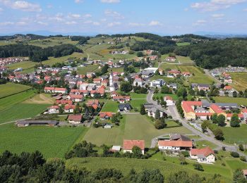
Zu Fuß


• Trail created by Vulkanland.at.

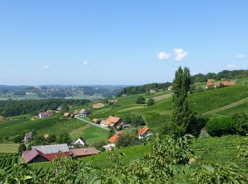
Zu Fuß
• Trail created by Vulkanland. Symbol: Gelbe Pfeile mit Aufschrift 3-Vulkane-Weg
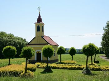
Zu Fuß
• Trail created by Verein zur Förderung des Steirischen Vulkanlands.
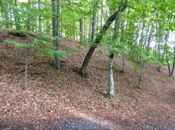
Zu Fuß
• Trail created by Verein zur Förderung des Steirischen Vulkanlands.
Zu Fuß
• Breite Bürgerbeteiligung und ein von Konsens getragenes Mitgestalten zeichnen die von Vulkanen geformte Region Steiri...
Zu Fuß
• Trail created by Tourismusverband Tieschen.
Zu Fuß
• Trail created by Tourismusverband Tieschen.
Zu Fuß
• Trail created by Vulkanland. Symbol: Gelbe Pfeile mit Aufschrift Rückgrat
Zu Fuß
• Trail created by Tourismusverband Tieschen.
Zu Fuß
• Trail created by Fremdenverkehrsverband St. Stefan im Rosental.
Zu Fuß
• Trail created by Fremdenverkehrsverband St. Stefan im Rosental.
Zu Fuß
• Trail created by Fremdenverkehrsverband St. Stefan im Rosental.
Zu Fuß
• Trail created by Fremdenverkehrsverband St. Stefan im Rosental.
Zu Fuß
• Trail created by Fremdenverkehrsverband St. Stefan im Rosental.
Zu Fuß
• Trail created by Fremdenverkehrsverband St. Stefan im Rosental.
Zu Fuß
• Trail created by Fremdenverkehrsverband St. Stefan im Rosental.
Zu Fuß
• Trail created by Fremdenverkehrsverband St. Stefan im Rosental.
Zu Fuß
• Trail created by Fremdenverkehrsverband St. Stefan im Rosental.
Zu Fuß
• Trail created by Fremdenverkehrsverband St. Stefan im Rosental.
Zu Fuß
• Trail created by Fremdenverkehrsverband St. Stefan im Rosental.
20 Angezeigte Touren bei 48
Kostenlosegpshiking-Anwendung
 SityTrail
IGN / Geografische Institute
SityTrail World
Die Welt öffnet sich für Sie