


15,5 km | 23 km-effort
Bezirk Liezen : Entdecken Sie die besten Touren : 69 zu fuß. Alle diese Touren, Trails, Routen und Outdoor-Aktivitäten sind in unseren SityTrail-Apps für Smartphones und Tablets verfügbar.
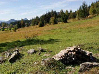
Zu Fuß


• Trail created by Gemeinde Tauplitz. Symbol: rot weiß rot
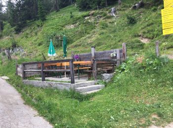
Zu Fuß
• Symbol: rot-weiß-rot 9
Zu Fuß
• Trail created by Stadtgemeinde Liezen. Symbol: red and green sign with white arrow and white lettering
Zu Fuß
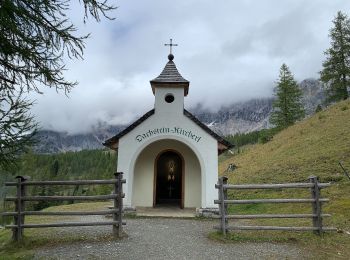
• Trail created by Tourismusverband Ramsau am Dachstein.
Zu Fuß
• Trail created by ÖAV Admont. Symbol: rot-weiss-rot 36
Zu Fuß
• http://wiki.openstreetmap.org/wiki/WikiProject_Austria/Wanderwege Symbol: rot-weiss-rot
Zu Fuß
• http://wiki.openstreetmap.org/index.php?title=WikiProject_Austria/Wanderwege Symbol: Rot-Weiss-Rot 12
Zu Fuß
• Trail created by Naturfreunde Schladming.
Zu Fuß
• Symbol: rot-weiss-rot 37
Zu Fuß
• Trail created by Gröbmingerland.
Zu Fuß
• http://wiki.openstreetmap.org/wiki/WikiProject_Austria/Wanderwege
Zu Fuß
• Trail created by ÖAV Schladming.
Zu Fuß
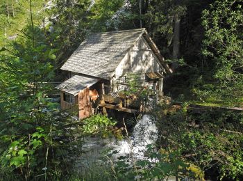
• Trail created by Tourismusverband Ramsau Dachstein.
Zu Fuß
• Trail created by Tourismusverband Ramsau Dachstein.
Zu Fuß
• Trail created by Tourismusverband Ramsau Dachstein.
Zu Fuß
• Trail created by Tourismusverband Ramsau Dachstein.
Zu Fuß
• Trail created by Tourismusverband Ramsau Dachstein.
Zu Fuß
• Trail created by Tourismusverband Ramsau Dachstein.
Zu Fuß
• Trail created by Tourismusverband Ramsau Dachstein.
Zu Fuß
• Trail created by Tourismusverband Ramsau Dachstein.
20 Angezeigte Touren bei 69
Kostenlosegpshiking-Anwendung
 SityTrail
IGN / Geografische Institute
SityTrail World
Die Welt öffnet sich für Sie