![](/images/other/stat-length.png)
- Touren
- Zu Fuß
- Austria
- Niederösterreich
- Bezirk Wiener Neustadt
- Gemeinde Piesting
Gemeinde Piesting, Bezirk Wiener Neustadt, Zu Fuß: Die besten Touren, Trails, Trecks und Wanderungen
Gemeinde Piesting : Entdecken Sie die besten Touren : 9 zu fuß. Alle diese Touren, Trails, Routen und Outdoor-Aktivitäten sind in unseren SityTrail-Apps für Smartphones und Tablets verfügbar.
Die besten Spuren (9)
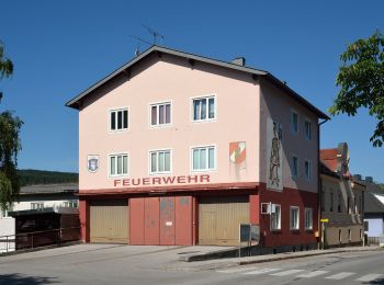
![Tour Zu Fuß Gemeinde Piesting - Markt Piesting - Alkersdorf - Mühltal - Oberpiesting - Photo](https://media.geolcdn.com/t/350/260/da4e84a1-619a-4126-b958-37ccde8f4cf9.jpeg&format=jpg&maxdim=2)
![Zu Fuß Zu Fuß](https://static1.geolcdn.com/sitytour/trail-icons/100.png)
Km
Zu Fuß
![](/images/other/stat-length.png)
![](https://static1.geolcdn.com/siteimages/upload/files/1508320355ic_sort_den_pos_24dp.png)
![](https://static1.geolcdn.com/siteimages/upload/files/1508320355ic_sort_den_neg_24dp.png)
![](https://static1.geolcdn.com/siteimages/upload/files/16400158638029165_repeat_loop_refresh_sync_direction_icon.png)
• unvollständig Symbol: Zahl 1 auf orangenem Grund
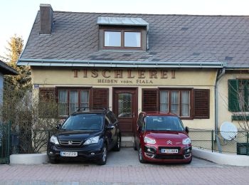
![Tour Zu Fuß Gemeinde Piesting - Markt Piesting Waldbad - Zitterwirt - Piesting B21 - Photo](https://media.geolcdn.com/t/350/260/3d6a13ac-18b3-4b71-9d85-8941251c398b.jpeg&format=jpg&maxdim=2)
![Zu Fuß Zu Fuß](https://static1.geolcdn.com/sitytour/trail-icons/100.png)
Km
Zu Fuß
![](/images/other/stat-length.png)
![](https://static1.geolcdn.com/siteimages/upload/files/1508320355ic_sort_den_pos_24dp.png)
![](https://static1.geolcdn.com/siteimages/upload/files/1508320355ic_sort_den_neg_24dp.png)
![](https://static1.geolcdn.com/siteimages/upload/files/16400158638029165_repeat_loop_refresh_sync_direction_icon.png)
• Symbol: orange, Zahl 9
![Tour Zu Fuß Gemeinde Piesting - Markt Piesting Waldbad - Rotes Kreuz - Prangelnwald Rundwanderweg - Photo](https://media.geolcdn.com/t/350/260/3d6a13ac-18b3-4b71-9d85-8941251c398b.jpeg&format=jpg&maxdim=2)
![Zu Fuß Zu Fuß](https://static1.geolcdn.com/sitytour/trail-icons/100.png)
Km
Zu Fuß
![](/images/other/stat-length.png)
![](https://static1.geolcdn.com/siteimages/upload/files/1508320355ic_sort_den_pos_24dp.png)
![](https://static1.geolcdn.com/siteimages/upload/files/1508320355ic_sort_den_neg_24dp.png)
![](https://static1.geolcdn.com/siteimages/upload/files/16400158638029165_repeat_loop_refresh_sync_direction_icon.png)
• Symbol: gelb, Zahl 6
![Tour Zu Fuß Gemeinde Piesting - Markt Piesting Waldbad - Rotes Kreuz - Dreistetten - Marchgraben Rundwanderweg - Photo](https://media.geolcdn.com/t/350/260/17f1afa8-7daf-4f19-97fc-9233e353faa2.jpeg&format=jpg&maxdim=2)
![Zu Fuß Zu Fuß](https://static1.geolcdn.com/sitytour/trail-icons/100.png)
Km
Zu Fuß
![](/images/other/stat-length.png)
![](https://static1.geolcdn.com/siteimages/upload/files/1508320355ic_sort_den_pos_24dp.png)
![](https://static1.geolcdn.com/siteimages/upload/files/1508320355ic_sort_den_neg_24dp.png)
![](https://static1.geolcdn.com/siteimages/upload/files/16400158638029165_repeat_loop_refresh_sync_direction_icon.png)
• Symbol: orange, Zahl 7
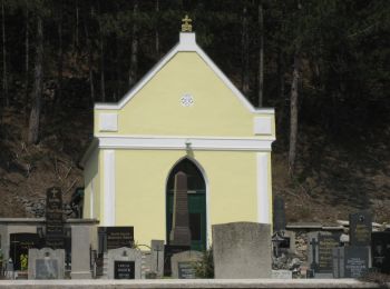
![Tour Zu Fuß Gemeinde Piesting - Wöllersdorf - Hubertuskapelle (Piesting) - Photo](https://media.geolcdn.com/t/350/260/2900215a-3515-410c-9ee4-599e5b358267.jpeg&format=jpg&maxdim=2)
![Zu Fuß Zu Fuß](https://static1.geolcdn.com/sitytour/trail-icons/100.png)
Km
Zu Fuß
![](/images/other/stat-length.png)
![](https://static1.geolcdn.com/siteimages/upload/files/1508320355ic_sort_den_pos_24dp.png)
![](https://static1.geolcdn.com/siteimages/upload/files/1508320355ic_sort_den_neg_24dp.png)
![](https://static1.geolcdn.com/siteimages/upload/files/16400158638029165_repeat_loop_refresh_sync_direction_icon.png)
• Trail created by VV Piesting. Symbol: orange Schild: 5
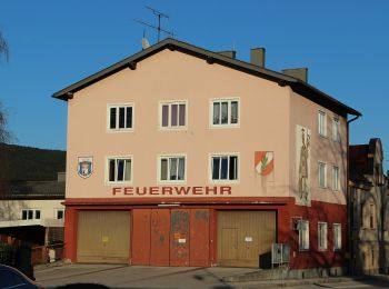
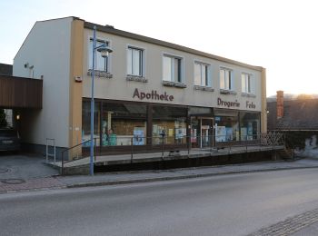
![Tour Zu Fuß Gemeinde Piesting - Bad Fischau-Brunn - Rotes Kreuz - Markt Piesting - Photo](https://media.geolcdn.com/t/350/260/761d661b-67d9-41cd-96ba-7c9bab260d28.jpeg&format=jpg&maxdim=2)
![Zu Fuß Zu Fuß](https://static1.geolcdn.com/sitytour/trail-icons/100.png)
Km
Zu Fuß
![](/images/other/stat-length.png)
![](https://static1.geolcdn.com/siteimages/upload/files/1508320355ic_sort_den_pos_24dp.png)
![](https://static1.geolcdn.com/siteimages/upload/files/1508320355ic_sort_den_neg_24dp.png)
![](https://static1.geolcdn.com/siteimages/upload/files/16400158638029165_repeat_loop_refresh_sync_direction_icon.png)
• Trail created by Österreichischer Touristenklub, Sektion Wiener Neustadt. Symbol: blauer, waagrechter Balken
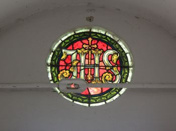
![Tour Zu Fuß Gemeinde Piesting - Markt Piesting: Route 1 - Photo](https://media.geolcdn.com/t/350/260/8c70c6df-135b-4d3a-b7f6-46cdbbbcb2ce.jpeg&format=jpg&maxdim=2)
![Zu Fuß Zu Fuß](https://static1.geolcdn.com/sitytour/trail-icons/100.png)
Km
Zu Fuß
![](/images/other/stat-length.png)
![](https://static1.geolcdn.com/siteimages/upload/files/1508320355ic_sort_den_pos_24dp.png)
![](https://static1.geolcdn.com/siteimages/upload/files/1508320355ic_sort_den_neg_24dp.png)
![](https://static1.geolcdn.com/siteimages/upload/files/16400158638029165_repeat_loop_refresh_sync_direction_icon.png)
• Trail created by Gesundes Niederösterreich. Symbol: text: Route 1
![Tour Zu Fuß Gemeinde Piesting - Markt Piesting: Route 2 - Photo](https://media.geolcdn.com/t/350/260/3d6a13ac-18b3-4b71-9d85-8941251c398b.jpeg&format=jpg&maxdim=2)
![Zu Fuß Zu Fuß](https://static1.geolcdn.com/sitytour/trail-icons/100.png)
Km
Zu Fuß
![](/images/other/stat-length.png)
![](https://static1.geolcdn.com/siteimages/upload/files/1508320355ic_sort_den_pos_24dp.png)
![](https://static1.geolcdn.com/siteimages/upload/files/1508320355ic_sort_den_neg_24dp.png)
![](https://static1.geolcdn.com/siteimages/upload/files/16400158638029165_repeat_loop_refresh_sync_direction_icon.png)
• Trail created by Gesundes Niederösterreich. Symbol: text: Route 2
![Tour Zu Fuß Gemeinde Piesting - Markt Piesting: Route 3 - Photo](https://media.geolcdn.com/t/350/260/3d6a13ac-18b3-4b71-9d85-8941251c398b.jpeg&format=jpg&maxdim=2)
![Zu Fuß Zu Fuß](https://static1.geolcdn.com/sitytour/trail-icons/100.png)
Km
Zu Fuß
![](/images/other/stat-length.png)
![](https://static1.geolcdn.com/siteimages/upload/files/1508320355ic_sort_den_pos_24dp.png)
![](https://static1.geolcdn.com/siteimages/upload/files/1508320355ic_sort_den_neg_24dp.png)
![](https://static1.geolcdn.com/siteimages/upload/files/16400158638029165_repeat_loop_refresh_sync_direction_icon.png)
• Trail created by Gesundes Niederösterreich. Symbol: text: Route 3
9 Angezeigte Touren bei 9
Kostenlosegpshiking-Anwendung