![](/images/other/stat-length.png)
- Touren
- Zu Fuß
- Austria
- Niederösterreich
- Bezirk Bruck an der Leitha
Bezirk Bruck an der Leitha, Niederösterreich, Zu Fuß: Die besten Touren, Trails, Trecks und Wanderungen
Bezirk Bruck an der Leitha : Entdecken Sie die besten Touren : 24 zu fuß. Alle diese Touren, Trails, Routen und Outdoor-Aktivitäten sind in unseren SityTrail-Apps für Smartphones und Tablets verfügbar.
Die besten Spuren (24)
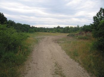
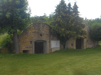
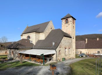
![Tour Zu Fuß Gemeinde Höflein - Via Vinum (Rundwanderweg Höflein) - Photo](https://media.geolcdn.com/t/350/260/260408f4-794c-437f-9bda-ac5e4b7cf30c.jpeg&format=jpg&maxdim=2)
![Zu Fuß Zu Fuß](https://static1.geolcdn.com/sitytour/trail-icons/100.png)
Km
Zu Fuß
![](/images/other/stat-length.png)
![](https://static1.geolcdn.com/siteimages/upload/files/1508320355ic_sort_den_pos_24dp.png)
![](https://static1.geolcdn.com/siteimages/upload/files/1508320355ic_sort_den_neg_24dp.png)
![](https://static1.geolcdn.com/siteimages/upload/files/16400158638029165_repeat_loop_refresh_sync_direction_icon.png)
• Trail created by Via.Carnuntum.
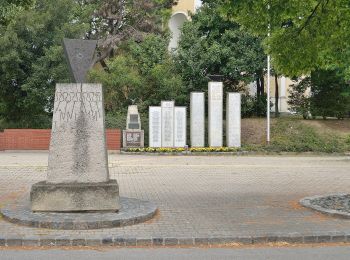
![Tour Zu Fuß Hundsheim - Ortsrunde (Rundwanderweg) - Photo](https://media.geolcdn.com/t/350/260/699d1292-6075-4db8-a1ba-fb0c42ceabe6.jpeg&format=jpg&maxdim=2)
![Zu Fuß Zu Fuß](https://static1.geolcdn.com/sitytour/trail-icons/100.png)
Km
Zu Fuß
![](/images/other/stat-length.png)
![](https://static1.geolcdn.com/siteimages/upload/files/1508320355ic_sort_den_pos_24dp.png)
![](https://static1.geolcdn.com/siteimages/upload/files/1508320355ic_sort_den_neg_24dp.png)
![](https://static1.geolcdn.com/siteimages/upload/files/16400158638029165_repeat_loop_refresh_sync_direction_icon.png)
• Trail created by Tourismusverband Edelstal.
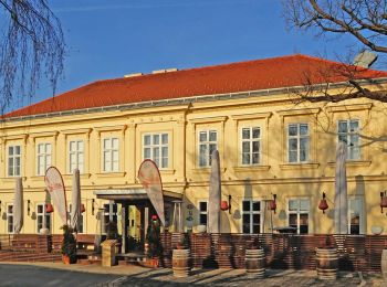
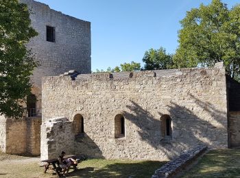
![Tour Zu Fuß Gemeinde Göttlesbrunn-Arbesthal - Via Vinum (Rundwanderweg Göttlesbrunn - Arbesthal) - Photo](https://media.geolcdn.com/t/350/260/95f921f7-c276-4799-9f7f-0fad57ec544f.jpeg&format=jpg&maxdim=2)
![Zu Fuß Zu Fuß](https://static1.geolcdn.com/sitytour/trail-icons/100.png)
Km
Zu Fuß
![](/images/other/stat-length.png)
![](https://static1.geolcdn.com/siteimages/upload/files/1508320355ic_sort_den_pos_24dp.png)
![](https://static1.geolcdn.com/siteimages/upload/files/1508320355ic_sort_den_neg_24dp.png)
![](https://static1.geolcdn.com/siteimages/upload/files/16400158638029165_repeat_loop_refresh_sync_direction_icon.png)
• Trail created by Via.Carnuntum.
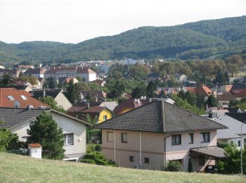
![Tour Zu Fuß Gemeinde Fischamend - Dominik Immobilien Runde (Fischamend) - Photo](https://media.geolcdn.com/t/350/260/e726a87e-86b7-44fa-8c5c-0065d2a397d8.jpeg&format=jpg&maxdim=2)
![Zu Fuß Zu Fuß](https://static1.geolcdn.com/sitytour/trail-icons/100.png)
Km
Zu Fuß
![](/images/other/stat-length.png)
![](https://static1.geolcdn.com/siteimages/upload/files/1508320355ic_sort_den_pos_24dp.png)
![](https://static1.geolcdn.com/siteimages/upload/files/1508320355ic_sort_den_neg_24dp.png)
![](https://static1.geolcdn.com/siteimages/upload/files/16400158638029165_repeat_loop_refresh_sync_direction_icon.png)
• Trail created by Runnersfun. Symbol: gelber Pfeil
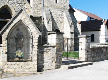
![Tour Zu Fuß Gemeinde Au am Leithaberge - Durch die Wüste (Au am Leithaberge - Kaisereiche) - Photo](https://media.geolcdn.com/t/350/260/fcfc0887-45c5-4b7f-9449-dcc306f4a8d6.jpeg&format=jpg&maxdim=2)
![Zu Fuß Zu Fuß](https://static1.geolcdn.com/sitytour/trail-icons/100.png)
Km
Zu Fuß
![](/images/other/stat-length.png)
![](https://static1.geolcdn.com/siteimages/upload/files/1508320355ic_sort_den_pos_24dp.png)
![](https://static1.geolcdn.com/siteimages/upload/files/1508320355ic_sort_den_neg_24dp.png)
![](https://static1.geolcdn.com/siteimages/upload/files/16400158638029165_repeat_loop_refresh_sync_direction_icon.png)
• Symbol: rot-weiß-rot; Schriftzug "Durch die Wüste"
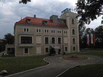
![Tour Zu Fuß Gemeinde Leopoldsdorf - Augenblick Runde - Photo](https://media.geolcdn.com/t/350/260/6889d42f-a30c-4f53-9e8c-6f0a070e6cec.jpeg&format=jpg&maxdim=2)
![Zu Fuß Zu Fuß](https://static1.geolcdn.com/sitytour/trail-icons/100.png)
Km
Zu Fuß
![](/images/other/stat-length.png)
![](https://static1.geolcdn.com/siteimages/upload/files/1508320355ic_sort_den_pos_24dp.png)
![](https://static1.geolcdn.com/siteimages/upload/files/1508320355ic_sort_den_neg_24dp.png)
![](https://static1.geolcdn.com/siteimages/upload/files/16400158638029165_repeat_loop_refresh_sync_direction_icon.png)
• Trail created by Runnersfun. Symbol: blauer Pfeil, L3
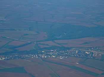
![Tour Zu Fuß Gemeinde Leopoldsdorf - Gebrüder Weiss Runde - Photo](https://media.geolcdn.com/t/350/260/9ee66625-59c7-4fc8-823b-39f6f987f948.jpeg&format=jpg&maxdim=2)
![Zu Fuß Zu Fuß](https://static1.geolcdn.com/sitytour/trail-icons/100.png)
Km
Zu Fuß
![](/images/other/stat-length.png)
![](https://static1.geolcdn.com/siteimages/upload/files/1508320355ic_sort_den_pos_24dp.png)
![](https://static1.geolcdn.com/siteimages/upload/files/1508320355ic_sort_den_neg_24dp.png)
![](https://static1.geolcdn.com/siteimages/upload/files/16400158638029165_repeat_loop_refresh_sync_direction_icon.png)
• Trail created by Runnersfun. Symbol: gelber Pfeil, L2
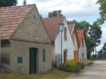
![Tour Zu Fuß Berg - Rundwanderweg Königswarte-Hindlerberg - Photo](https://media.geolcdn.com/t/350/260/64f44aa3-5d39-41e6-ac18-12067d678341.jpeg&format=jpg&maxdim=2)
![Zu Fuß Zu Fuß](https://static1.geolcdn.com/sitytour/trail-icons/100.png)
Km
Zu Fuß
![](/images/other/stat-length.png)
![](https://static1.geolcdn.com/siteimages/upload/files/1508320355ic_sort_den_pos_24dp.png)
![](https://static1.geolcdn.com/siteimages/upload/files/1508320355ic_sort_den_neg_24dp.png)
![](https://static1.geolcdn.com/siteimages/upload/files/16400158638029165_repeat_loop_refresh_sync_direction_icon.png)
• Trail created by Gemeinde Berg. Symbol: weiss-grün-weiss
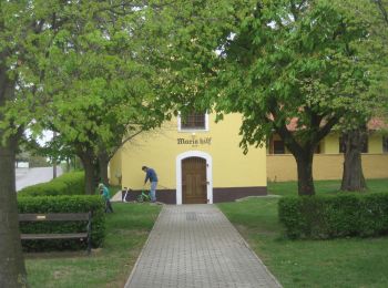
![Tour Zu Fuß Berg - Rundwanderweg Königswarte-Altes Haus - Photo](https://media.geolcdn.com/t/350/260/596fce1f-bf86-4af4-87bc-769e112d0354.jpeg&format=jpg&maxdim=2)
![Zu Fuß Zu Fuß](https://static1.geolcdn.com/sitytour/trail-icons/100.png)
Km
Zu Fuß
![](/images/other/stat-length.png)
![](https://static1.geolcdn.com/siteimages/upload/files/1508320355ic_sort_den_pos_24dp.png)
![](https://static1.geolcdn.com/siteimages/upload/files/1508320355ic_sort_den_neg_24dp.png)
![](https://static1.geolcdn.com/siteimages/upload/files/16400158638029165_repeat_loop_refresh_sync_direction_icon.png)
• Trail created by Gemeinde Berg. Symbol: weiss-blau-weiss
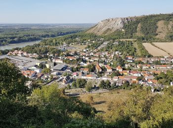
![Tour Zu Fuß Hainburg an der Donau - Hainburg: Hexenbergweg - Photo](https://media.geolcdn.com/t/350/260/b74fb8b1-517c-404e-b239-d90763f97c96.jpeg&format=jpg&maxdim=2)
![Zu Fuß Zu Fuß](https://static1.geolcdn.com/sitytour/trail-icons/100.png)
Km
Zu Fuß
![](/images/other/stat-length.png)
![](https://static1.geolcdn.com/siteimages/upload/files/1508320355ic_sort_den_pos_24dp.png)
![](https://static1.geolcdn.com/siteimages/upload/files/1508320355ic_sort_den_neg_24dp.png)
![](https://static1.geolcdn.com/siteimages/upload/files/16400158638029165_repeat_loop_refresh_sync_direction_icon.png)
• Symbol: gelb
![Tour Zu Fuß Hainburg an der Donau - Hainburg: Schiesstättenweg - Photo](https://media.geolcdn.com/t/350/260/b69fd92a-07f1-4931-bf01-25072c07eaed.jpeg&format=jpg&maxdim=2)
![Zu Fuß Zu Fuß](https://static1.geolcdn.com/sitytour/trail-icons/100.png)
Km
Zu Fuß
![](/images/other/stat-length.png)
![](https://static1.geolcdn.com/siteimages/upload/files/1508320355ic_sort_den_pos_24dp.png)
![](https://static1.geolcdn.com/siteimages/upload/files/1508320355ic_sort_den_neg_24dp.png)
![](https://static1.geolcdn.com/siteimages/upload/files/16400158638029165_repeat_loop_refresh_sync_direction_icon.png)
• Symbol: gruen
![Tour Zu Fuß Hainburg an der Donau - Rund um den Braunsberg - Photo](https://media.geolcdn.com/t/350/260/bd1753cf-e99f-42e8-805c-15440aad04d5.jpeg&format=jpg&maxdim=2)
![Zu Fuß Zu Fuß](https://static1.geolcdn.com/sitytour/trail-icons/100.png)
Km
Zu Fuß
![](/images/other/stat-length.png)
![](https://static1.geolcdn.com/siteimages/upload/files/1508320355ic_sort_den_pos_24dp.png)
![](https://static1.geolcdn.com/siteimages/upload/files/1508320355ic_sort_den_neg_24dp.png)
![](https://static1.geolcdn.com/siteimages/upload/files/16400158638029165_repeat_loop_refresh_sync_direction_icon.png)
• Symbol: Gruen
![Tour Zu Fuß Gemeinde Mannersdorf am Leithagebirge - Kleiner und Großer Rundwanderweg Mannersdorf - Photo](https://media.geolcdn.com/t/350/260/0f86d037-968f-4993-873d-9c5b7e0208eb.jpeg&format=jpg&maxdim=2)
![Zu Fuß Zu Fuß](https://static1.geolcdn.com/sitytour/trail-icons/100.png)
Km
Zu Fuß
![](/images/other/stat-length.png)
![](https://static1.geolcdn.com/siteimages/upload/files/1508320355ic_sort_den_pos_24dp.png)
![](https://static1.geolcdn.com/siteimages/upload/files/1508320355ic_sort_den_neg_24dp.png)
![](https://static1.geolcdn.com/siteimages/upload/files/16400158638029165_repeat_loop_refresh_sync_direction_icon.png)
• Trail created by Naturfreunde Österreich, Ortsgruppe Mannersdorf. Symbol: blau und gelb waagerecht
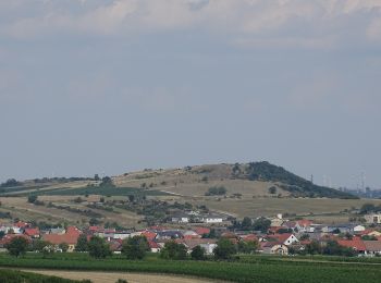
![Tour Zu Fuß Gemeinde Mannersdorf am Leithagebirge - Mannersdorf - Breitenbrunn - Photo](https://media.geolcdn.com/t/350/260/3fa67110-4398-4b5e-ad62-57f553467dd3.jpeg&format=jpg&maxdim=2)
![Zu Fuß Zu Fuß](https://static1.geolcdn.com/sitytour/trail-icons/100.png)
Km
Zu Fuß
![](/images/other/stat-length.png)
![](https://static1.geolcdn.com/siteimages/upload/files/1508320355ic_sort_den_pos_24dp.png)
![](https://static1.geolcdn.com/siteimages/upload/files/1508320355ic_sort_den_neg_24dp.png)
![](https://static1.geolcdn.com/siteimages/upload/files/16400158638029165_repeat_loop_refresh_sync_direction_icon.png)
• Trail created by Naturfreunde Österreich, Ortsgruppe Mannersdorf. Symbol: weißer, waagerechter Balken auf rotem Grund
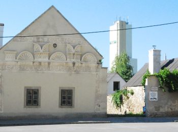
![Tour Zu Fuß Gemeinde Mannersdorf am Leithagebirge - Mannersdorf - Sommerein (Adolf Wiener Weg) - Photo](https://media.geolcdn.com/t/350/260/027db282-59c7-4907-ad17-f01304815f28.jpeg&format=jpg&maxdim=2)
![Zu Fuß Zu Fuß](https://static1.geolcdn.com/sitytour/trail-icons/100.png)
Km
Zu Fuß
![](/images/other/stat-length.png)
![](https://static1.geolcdn.com/siteimages/upload/files/1508320355ic_sort_den_pos_24dp.png)
![](https://static1.geolcdn.com/siteimages/upload/files/1508320355ic_sort_den_neg_24dp.png)
![](https://static1.geolcdn.com/siteimages/upload/files/16400158638029165_repeat_loop_refresh_sync_direction_icon.png)
• Trail created by Naturfreunde Österreich, Ortsgruppe Mannersdorf. Symbol: weißer, waagerechter Balken auf rotem Grund
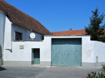
![Tour Zu Fuß Gemeinde Mannersdorf am Leithagebirge - Mannersdorf - Purbach - Photo](https://media.geolcdn.com/t/350/260/5e46de65-2db5-4de2-8f8c-a24b6fb84bc6.jpeg&format=jpg&maxdim=2)
![Zu Fuß Zu Fuß](https://static1.geolcdn.com/sitytour/trail-icons/100.png)
Km
Zu Fuß
![](/images/other/stat-length.png)
![](https://static1.geolcdn.com/siteimages/upload/files/1508320355ic_sort_den_pos_24dp.png)
![](https://static1.geolcdn.com/siteimages/upload/files/1508320355ic_sort_den_neg_24dp.png)
![](https://static1.geolcdn.com/siteimages/upload/files/16400158638029165_repeat_loop_refresh_sync_direction_icon.png)
• Trail created by Naturfreunde Österreich, Ortsgruppe Mannersdorf. Symbol: weißer, waagerechter Balken auf rotem Grund
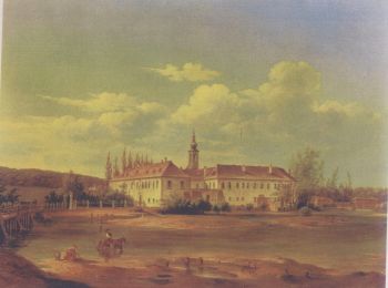
![Tour Zu Fuß Gemeinde Bruck an der Leitha - Rundwanderweg Wilfleinsdorf - Photo](https://media.geolcdn.com/t/350/260/b16bfab7-66fc-464e-9b55-6fe1908efdec.jpeg&format=jpg&maxdim=2)
![Zu Fuß Zu Fuß](https://static1.geolcdn.com/sitytour/trail-icons/100.png)
Km
Zu Fuß
![](/images/other/stat-length.png)
![](https://static1.geolcdn.com/siteimages/upload/files/1508320355ic_sort_den_pos_24dp.png)
![](https://static1.geolcdn.com/siteimages/upload/files/1508320355ic_sort_den_neg_24dp.png)
![](https://static1.geolcdn.com/siteimages/upload/files/16400158638029165_repeat_loop_refresh_sync_direction_icon.png)
![Tour Zu Fuß Gemeinde Trautmannsdorf - Wind-Wein-Weg (Windpark Trautmannsdorf) - Photo](https://media.geolcdn.com/t/350/260/075f314c-4c1d-495e-be18-f919cddf805e.jpeg&format=jpg&maxdim=2)
![Zu Fuß Zu Fuß](https://static1.geolcdn.com/sitytour/trail-icons/100.png)
Km
Zu Fuß
![](/images/other/stat-length.png)
![](https://static1.geolcdn.com/siteimages/upload/files/1508320355ic_sort_den_pos_24dp.png)
![](https://static1.geolcdn.com/siteimages/upload/files/1508320355ic_sort_den_neg_24dp.png)
![](https://static1.geolcdn.com/siteimages/upload/files/16400158638029165_repeat_loop_refresh_sync_direction_icon.png)
![Tour Zu Fuß Hundsheim - Hotterweg (Rundwanderweg) - Photo](https://media.geolcdn.com/t/350/260/7c808d88-52af-4bd4-9b40-89e97f6a56c1.jpeg&format=jpg&maxdim=2)
![Zu Fuß Zu Fuß](https://static1.geolcdn.com/sitytour/trail-icons/100.png)
Km
Zu Fuß
![](/images/other/stat-length.png)
![](https://static1.geolcdn.com/siteimages/upload/files/1508320355ic_sort_den_pos_24dp.png)
![](https://static1.geolcdn.com/siteimages/upload/files/1508320355ic_sort_den_neg_24dp.png)
![](https://static1.geolcdn.com/siteimages/upload/files/16400158638029165_repeat_loop_refresh_sync_direction_icon.png)
• Trail created by Tourismusverband Edelstal.
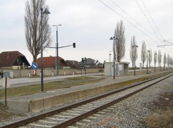
![Tour Zu Fuß Gemeinde Haslau - Maria Ellend - Maria Ellend - Haslau - Photo](https://media.geolcdn.com/t/350/260/1c881938-78c1-4949-bcda-ab36597ff325.jpeg&format=jpg&maxdim=2)
![Zu Fuß Zu Fuß](https://static1.geolcdn.com/sitytour/trail-icons/100.png)
Km
Zu Fuß
![](/images/other/stat-length.png)
![](https://static1.geolcdn.com/siteimages/upload/files/1508320355ic_sort_den_pos_24dp.png)
![](https://static1.geolcdn.com/siteimages/upload/files/1508320355ic_sort_den_neg_24dp.png)
![](https://static1.geolcdn.com/siteimages/upload/files/16400158638029165_repeat_loop_refresh_sync_direction_icon.png)
20 Angezeigte Touren bei 24
Kostenlosegpshiking-Anwendung
Aktivitäten
Nahegelegene Regionen
- Berg
- Gemeinde Au am Leithaberge
- Gemeinde Bruck an der Leitha
- Gemeinde Fischamend
- Gemeinde Göttlesbrunn-Arbesthal
- Gemeinde Haslau - Maria Ellend
- Gemeinde Höflein
- Gemeinde Leopoldsdorf
- Gemeinde Mannersdorf am Leithagebirge
- Gemeinde Sommerein
- Gemeinde Trautmannsdorf
- Hainburg an der Donau
- Hundsheim
- Schwechat