


5,5 km | 6,2 km-effort
Vorarlberg : Entdecken Sie die besten Touren : 10 zu fuß und 30 wandern. Alle diese Touren, Trails, Routen und Outdoor-Aktivitäten sind in unseren SityTrail-Apps für Smartphones und Tablets verfügbar.

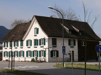
Zu Fuß


• Symbol: BeWegung Begegnung Website: http://www.bewegung-begegnung.net/
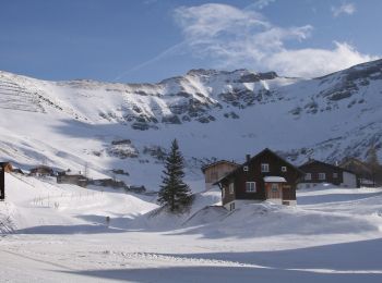
Wandern
Wandern
Zu Fuß
Zu Fuß
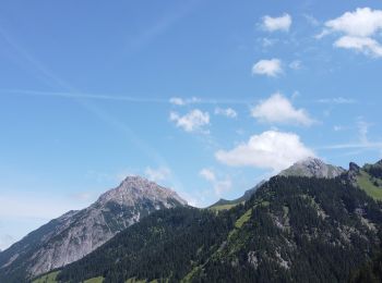
Wandern
Wandern
Zu Fuß
Zu Fuß
Zu Fuß
Zu Fuß
Zu Fuß
Zu Fuß

Zu Fuß

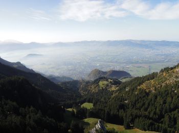
Wandern

Wandern
•
Wandern
•
Wandern
•
Wandern
•
Wandern
•
20 Angezeigte Touren bei 40
Kostenlosegpshiking-Anwendung
 SityTrail
IGN / Geografische Institute
SityTrail World
Die Welt öffnet sich für Sie