


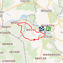

10,3 km | 13,3 km-effort


Gebruiker


Gratisgps-wandelapplicatie
 SityTrail
IGN / Geografische instituten
SityTrail World
De wereld gaat voor u open
Tocht Stappen van 9,1 km beschikbaar op Occitanië, Lot, Carennac. Deze tocht wordt voorgesteld door neitag61.
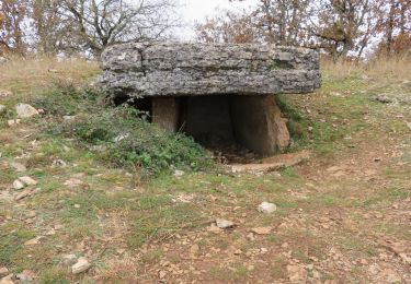
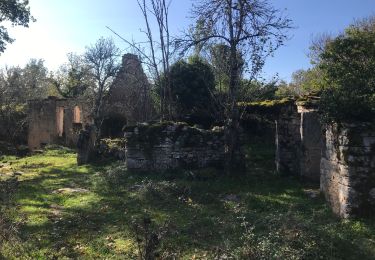
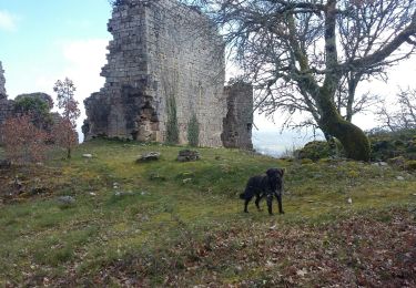
From carennac gite trail goes above river through woods. Some parts steep. We didn't take the side trip to mezels. Upper part, middle of route less interesting, but last part has views and voie romane.

Stappen

Stappen

Stappen
Stappen

Stappen

Stappen
Stappen

Stappen