


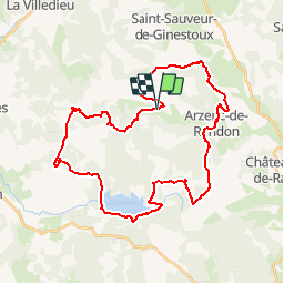


90 km | 113 km-effort


Gebruiker


Gratisgps-wandelapplicatie
 SityTrail
IGN / Geografische instituten
SityTrail World
De wereld gaat voor u open
Tocht Mountainbike van 40 km beschikbaar op Occitanië, Lozère, Arzenc-de-Randon. Deze tocht wordt voorgesteld door phcol.
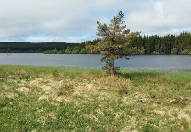
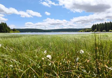
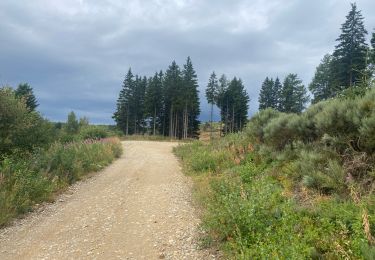
Boucle passant par le Truc de Fortunio, le lac de Charpal et Arzenc sur Randon.

Mountainbike
Stappen

Stappen
Stappen
Mountainbike
Stappen
Stappen
Mountainbike
Stappen