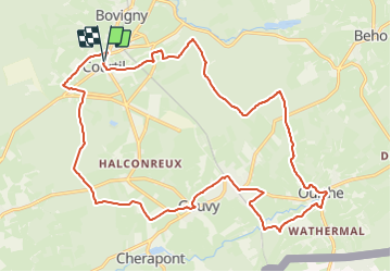


5,1 km | 6,1 km-effort

Randonnez sur et autour des GR ® wallons (Sentiers de Grande Randonnée). PRO


Gratisgps-wandelapplicatie
 SityTrail
IGN / Geografische instituten
SityTrail World
De wereld gaat voor u open
Tocht Stappen van 22 km beschikbaar op Wallonië, Luxemburg, Gouvy. Deze tocht wordt voorgesteld door GR Rando.
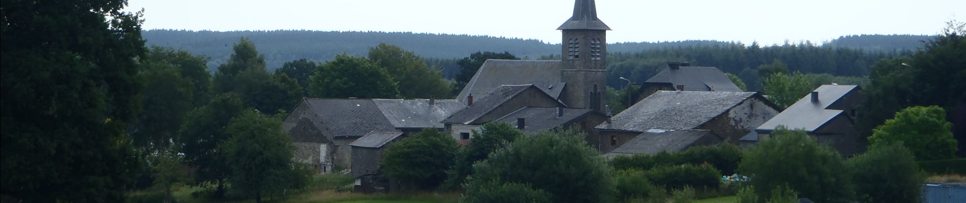
Point de départ : la brasserie artisanale « Les 3 Fourquets », Courtil, 50 à 6670 Gouvy (à proximité de l’église de Courtil).
Coordonnées GPS : 50° 12' 54.3" N ; 5° 54' 50.5" E.
Accès [voiture] : depuis la E25, sortie 50 ou 51, Courtil est accessible via la N878 ou la N68 puis la N892. Parking aux abords de la brasserie.
Transports en commun
TEC : arrêt « Courtil-Église ».
SNCB : la gare de Gouvy, accessible via la ligne 42 (Liège – Luxembourg)
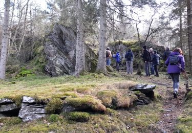
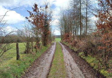
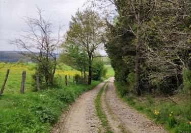
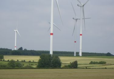
Au départ d’une brasserie ayant vu le jour en 2003 et au succès exponentiel, cette RB vous propose de découvrir quelques villages nichés dans le parc naturel des Deux Ourthes, dont celui qui abrite les sources de l’Ourthe orientale.


Stappen
Stappen
Stappen
Stappen
Stappen
Stappen

Stappen
Stappen