Tocht Stappen Chantraine - De Chantraine à Bouzey - Photo

De Chantraine à Bouzey

 jeanclaude12
jeanclaude12

Gebruiker

© OpenStreetMap contributors
Lengte
Lengte
14,6 km
Max. hoogte
Max. hoogte
460 m
Positief hoogteverschil
275 m
Km-Effort
Km-Effort  
18,2 km
Min. hoogte
Min. hoogte
365 m
Negatief hoogteverschil
273 m
Boucle
Boucle
Ja
Datum van aanmaak :
2015-06-23 00:00:00.0
Laatste wijziging :
2015-06-23 00:00:00.0

(0 Bericht)

Stappen
Stappen
3h47
Moeilijkheid : Gemakkelijk

Scan deze QR-code om de tocht te openen in de SityTrail-applicatie

Gratisgps-wandelapplicatie

Logo SityTrail SityTrail

IGN / Geografische instituten

SityTrail uit de App Store downloaden SityTrail uit Google Play downloaden

Logo SityTrail SityTrail World

De wereld gaat voor u open

SityTrail uit de App Store downloaden SityTrail uit Google Play downloaden SityTrail op Huawei AppGallery downloaden

Over ons

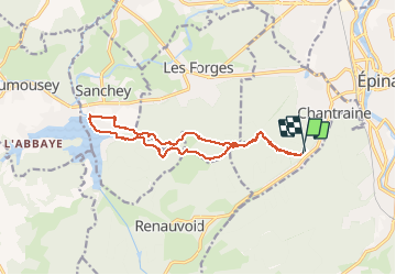
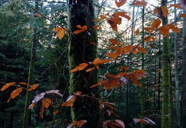
Tocht Stappen van 14,6 km beschikbaar op Grand Est, Vogezen, Chantraine. Deze tocht wordt voorgesteld door jeanclaude12.

Beschrijving

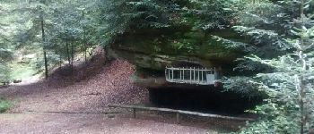
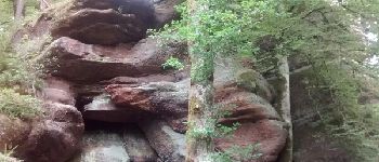
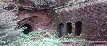
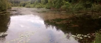
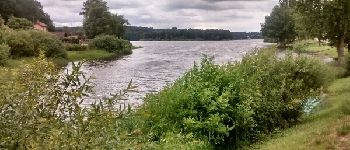
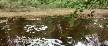
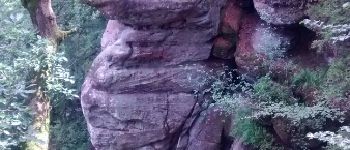
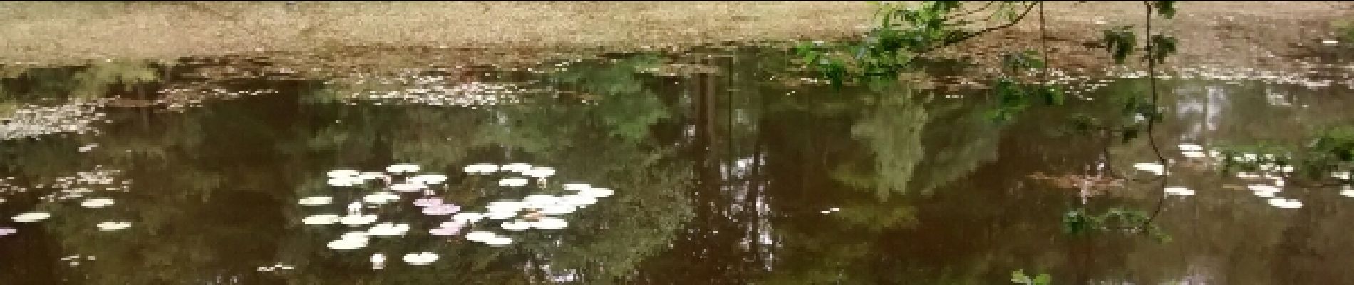
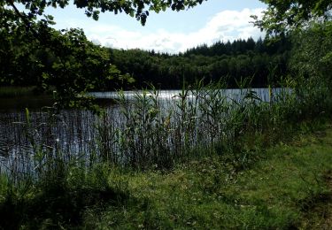
Randonnée très agréable vers Les Roches d'Olima, l'Etang de la Comtesse et sa Tourbière remarquable pour arriver sur le Lac de Bouzey.

Hoogteprofiel

Foto's

POI's

POI Chantraine - Notre-Dame des 3 Vallées - Photo
jeanclaude12
POI Les Forges - Roches d'Olima - Photo
jeanclaude12
LES FORGES 
POI Les Forges - La Poudrière d'Olima - Photo
jeanclaude12
POI Les Forges - Etang de la Comtesse - Photo
jeanclaude12
POI Sanchey - Lac de Bouzey - Photo
jeanclaude12
SANCHEY 
POI Les Forges - Nuphars de l'Etang de la Comtesse - Photo
jeanclaude12
POI Les Forges - Olima - Photo
jeanclaude12
LES FORGES 

Plaatsbepaling

Land:
France
Regio :
Grand Est
Departement/Provincie :
Vogezen
Gemeente :
Chantraine
Locatie:
Unknown
Vertrek:(Dec)
Vertrek:(UTM)
308604 ; 5337219 (32U) N.

Wandeltochten in de omgeving

Tocht sport Épinal - Golbey - Photo
sport
lebregien

sport

Heel gemakkelijk
(1)
Épinal, Grand Est, Vogezen, France
7,1 km | 7,8 km-effort
Onbekend
Ja
Tocht Stappen Épinal - Epinal - Photo
Stappen
FOUCAULT

Stappen

Épinal, Grand Est, Vogezen, France
9,3 km | 10,7 km-effort
3h 0min
Ja
Tocht Stappen Épinal - humbertois les ,2lacs - Photo
Stappen
BernardHumeau

Stappen

Medium
Épinal, Grand Est, Vogezen, France
7,3 km | 8,9 km-effort
1h 55min
Ja
Tocht Wegfiets Épinal - epinal florémont bouxières - Photo
Wegfiets
GuySimonin

Wegfiets

Medium
(1)
Épinal, Grand Est, Vogezen, France
93 km | 110 km-effort
6h 26min
Ja
Tocht Stappen Épinal - ste Barbe - Photo
Stappen
BernardHumeau

Stappen

Heel gemakkelijk
Épinal, Grand Est, Vogezen, France
6,7 km | 9 km-effort
1h 55min
Ja
Tocht Stappen Épinal - 2016 03 22 - Photo
Stappen
michelbauby

Stappen

Gemakkelijk
Épinal, Grand Est, Vogezen, France
8,9 km | 12,4 km-effort
3h 8min
Ja
Tocht Andere activiteiten Épinal - Grand Est - Ligne 18 - Epinal St Diè - Photo
Andere activiteiten
mich54

Andere activiteiten

Heel gemakkelijk
Épinal, Grand Est, Vogezen, France
61 km | 68 km-effort
5min
Neen
Tocht Andere activiteiten Épinal - Grand Est - Ligne 18,7 - Epinal Remiremont - Photo
Andere activiteiten
mich54

Andere activiteiten

Heel gemakkelijk
Épinal, Grand Est, Vogezen, France
27 km | 31 km-effort
5min
Neen
Tocht Stappen Sanchey - A la Découverte de BOUZEY - Photo
Stappen
jeanclaude12

Stappen

Heel gemakkelijk
Sanchey, Grand Est, Vogezen, France
7,7 km | 9,3 km-effort
2h 4min
Ja


Sluiten
Mijn abonnementen