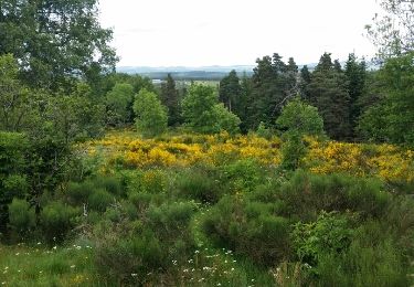
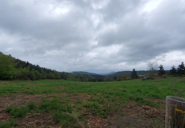
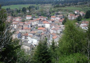
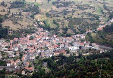
9,6 km | 13,3 km-effort
Sodo reco
Halberstadt
Gebruiker
Lengte
13,1 km
Max. hoogte
1247 m
Positief hoogteverschil
314 m
Km-Effort
17,3 km
Min. hoogte
1121 m
Negatief hoogteverschil
314 m
Boucle
Ja
Datum van aanmaak :
2024-05-05 07:06:28.0
Laatste wijziging :
2024-05-06 18:21:43.576
1h46
Moeilijkheid : Gemakkelijk
Gratisgps-wandelapplicatie
Over ons
Tocht Mountainbike van 13,1 km beschikbaar op Occitanië, Lozère, Grandrieu. Deze tocht wordt voorgesteld door Halberstadt.
Beschrijving
Kkk
Plaatsbepaling
Land:
France
Regio :
Occitanië
Departement/Provincie :
Lozère
Gemeente :
Grandrieu
Locatie:
Unknown
Vertrek:(Dec)
Vertrek:(UTM)
553102 ; 4955415 (31T) N.
Opmerkingen
Wandeltochten in de omgeving
Auroux en passant par Soulage et la croix de Parpaillon
Stappen
Medium
Auroux,
Occitanië,
Lozère,
France
3h 17min
Ja
parpaillon
Stappen
Heel gemakkelijk
Auroux,
Occitanië,
Lozère,
France
8,8 km | 12,6 km-effort
3h 24min
Ja
Espace VTT FFC du Gévaudan - n°12 - Circuit du Château
Mountainbike
Moeilijk
Auroux,
Occitanië,
Lozère,
France
14,7 km | 19,8 km-effort
2h 0min
Ja
Espace VTT FFC du Gévaudan - n°11 - Circuit du Chapeauroux
Mountainbike
Medium
Auroux,
Occitanië,
Lozère,
France
9,1 km | 11,4 km-effort
1h 0min
Ja
La panouse les salles
sport
Heel gemakkelijk
Auroux,
Occitanië,
Lozère,
France
12,1 km | 15,9 km-effort
Onbekend
Neen
2 bouviers
sport
Heel gemakkelijk
Grandrieu,
Occitanië,
Lozère,
France
17,2 km | 23 km-effort
Onbekend
Neen
Grandieu
sport
Heel gemakkelijk
Grandrieu,
Occitanië,
Lozère,
France
21 km | 29 km-effort
Onbekend
Neen
Lac de naussac
Paardrijden
Gemakkelijk
Auroux,
Occitanië,
Lozère,
France
29 km | 39 km-effort
1h 5min
Ja
Boucle Baraque Bouviers vers Mazimbert - Etoile des Bouviers
Paardrijden
Zeer moeilijk
Grandrieu,
Occitanië,
Lozère,
France
38 km | 50 km-effort
6h 31min
Ja