


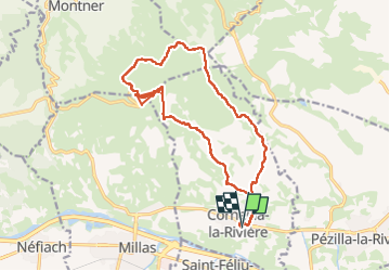

6,7 km | 11,4 km-effort

Gebruiker


Gratisgps-wandelapplicatie
 SityTrail
IGN / Geografische instituten
SityTrail World
De wereld gaat voor u open
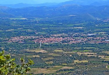
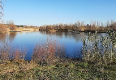
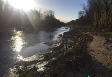
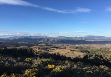
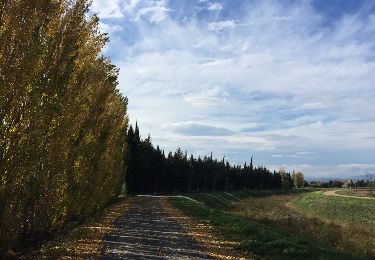
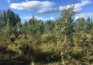
Tocht Stappen van 19 km beschikbaar op Occitanië, Pyrénées-Orientales, Corneilla-la-Rivière. Deze tocht wordt voorgesteld door ThonyM.
Très bien sauf peut être en plein été


Te voet
Stappen

Lopen
Stappen
Stappen

Stappen
Stappen
Stappen

Stappen