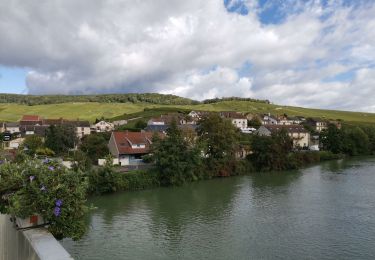
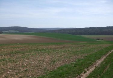
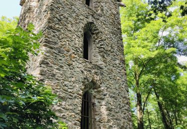
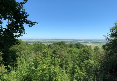
Tocht Stappen Ville-en-Selve - Boucle des Converses à Ville-en-Selve - Photo

Boucle des Converses à Ville-en-Selve

© OpenStreetMap contributors
Lengte
Lengte
5,6 km
Max. hoogte
Max. hoogte
282 m
Positief hoogteverschil
161 m
Km-Effort
Km-Effort  
7,7 km
Min. hoogte
Min. hoogte
179 m
Negatief hoogteverschil
159 m
Boucle
Boucle
Ja
Datum van aanmaak :
2023-04-08 09:38:30.157
Laatste wijziging :
2023-04-09 07:33:49.416

(0 Bericht)

Stappen
Stappen
1h45
Moeilijkheid : Medium

Scan deze QR-code om de tocht te openen in de SityTrail-applicatie

Gratisgps-wandelapplicatie

Logo SityTrail SityTrail

IGN / Geografische instituten

SityTrail uit de App Store downloaden SityTrail uit Google Play downloaden

Logo SityTrail SityTrail World

De wereld gaat voor u open

SityTrail uit de App Store downloaden SityTrail uit Google Play downloaden SityTrail op Huawei AppGallery downloaden

Over ons

Tocht Stappen van 5,6 km beschikbaar op Grand Est, Marne, Ville-en-Selve. Deze tocht wordt voorgesteld door quatre sans cinq.

Hoogteprofiel

POI's

POI Ville-en-Selve - Mairie, Place de la République - Photo
quatre sans cinq
POI Ville-en-Selve - Départementale - Photo
quatre sans cinq
VILLE-EN-SELVE 
POI Ville-en-Selve - Orée de la forêt - Photo
quatre sans cinq
VILLE-EN-SELVE 
POI Val de Livre - Chemin forestier carrosable - Photo
quatre sans cinq
POI Ville-en-Selve - Chemin du Blindé - Photo
quatre sans cinq
VILLE-EN-SELVE 
POI Ludes - Bifurcation à gauche - Photo
quatre sans cinq
POI Ville-en-Selve - Lavoir - Photo
quatre sans cinq
VILLE-EN-SELVE 
POI Ville-en-Selve - Mairie, Place de la République - Photo
quatre sans cinq

Plaatsbepaling

Land:
France
Regio :
Grand Est
Departement/Provincie :
Marne
Gemeente :
Ville-en-Selve
Locatie:
Unknown
Vertrek:(Dec)
Vertrek:(UTM)
578884 ; 5441967 (31U) N.

Wandeltochten in de omgeving

Tocht Stappen Ludes - picnic au moulin de Verzenay - Photo
Stappen
mousetik

Stappen

Medium
(2)
Ludes, Grand Est, Marne, France
12,6 km | 15,5 km-effort
3h 53min
Ja
Tocht Stappen Germaine - RP51-02 Les Haies à Mardeuil - Photo
Stappen
clalaur

Stappen

Zeer moeilijk
Germaine, Grand Est, Marne, France
17,6 km | 21 km-effort
4h 46min
Neen
Tocht Mountainbike Villers-Allerand - La Montagne de Reims - Au SE de Villers-Allerand - Photo
Mountainbike
tracegps

Mountainbike

Moeilijk
Villers-Allerand, Grand Est, Marne, France
30 km | 38 km-effort
3h 0min
Ja
Tocht Stappen Val de Livre - trytu - Photo
Stappen
remi.servel

Stappen

Medium
Val de Livre, Grand Est, Marne, France
7,9 km | 11,5 km-effort
3h 5min
Ja
Tocht Stappen Mailly-Champagne - Sentier géologique de Mailly-Champagne (PR 122) - Photo
Stappen
sophievdh

Stappen

Gemakkelijk
Mailly-Champagne, Grand Est, Marne, France
4,3 km | 5,8 km-effort
1h 19min
Ja
Tocht Stappen Verzenay - Verzenay - Photo
Stappen
jybe

Stappen

Verzenay, Grand Est, Marne, France
20 km | 24 km-effort
4h 49min
Ja
Tocht Mountainbike Bouzy - Florent Sabine JP Thierry Arnaud Alain Pascal  - Photo
Mountainbike
pepebru

Mountainbike

Heel gemakkelijk
Bouzy, Grand Est, Marne, France
25 km | 32 km-effort
2h 59min
Ja
Tocht Stappen Fontaine-sur-Ay - Fontaine sur Ay - Photo
Stappen
RANDOPS

Stappen

Medium
Fontaine-sur-Ay, Grand Est, Marne, France
9,8 km | 12,5 km-effort
3h 9min
Ja
Tocht Stappen Rilly-la-Montagne - les hauts De Rilly - Photo
Stappen
mousetik

Stappen

Gemakkelijk
Rilly-la-Montagne, Grand Est, Marne, France
7,2 km | 9,2 km-effort
2h 2min
Ja


Sluiten
Mijn abonnementen