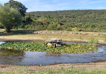
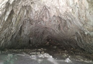
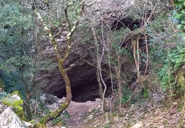
17,4 km | 24 km-effort
Autour de Montclus
ganinette
Gebruiker
Lengte
9,3 km
Max. hoogte
203 m
Positief hoogteverschil
227 m
Km-Effort
12,3 km
Min. hoogte
80 m
Negatief hoogteverschil
226 m
Boucle
Ja
Datum van aanmaak :
2023-01-17 12:39:05.65
Laatste wijziging :
2023-01-21 23:35:10.257
2h47
Moeilijkheid : Moeilijk
Gratisgps-wandelapplicatie
Over ons
Tocht Stappen van 9,3 km beschikbaar op Occitanië, Gard, Montclus. Deze tocht wordt voorgesteld door ganinette.
Beschrijving
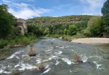
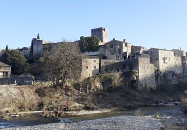
Aux frontières de l'Ardèche mais les pieds dans le Gard, Montclus est installé dans un méandre de la Cèze.
Plaatsbepaling
Land:
France
Regio :
Occitanië
Departement/Provincie :
Gard
Gemeente :
Montclus
Locatie:
Unknown
Vertrek:(Dec)
Vertrek:(UTM)
613365 ; 4902000 (31T) N.
Opmerkingen
Wandeltochten in de omgeving
Montclus - St André de Roquepertuis
Stappen
Moeilijk
(1)
Saint-André-de-Roquepertuis,
Occitanië,
Gard,
France
5h 0min
Ja
grotte Aven de Peyre haute
Stappen
Heel gemakkelijk
(1)
Méjannes-le-Clap,
Occitanië,
Gard,
France
3,6 km | 4,6 km-effort
1h 13min
Ja
Montclus petite boucle.
Stappen
Gemakkelijk
Montclus,
Occitanië,
Gard,
France
9,7 km | 14,1 km-effort
5h 56min
Ja
Gorges de l'Ardèche
Stappen
Moeilijk
Le Garn,
Occitanië,
Gard,
France
17,8 km | 26 km-effort
5h 59min
Ja
montclus le dent de serret
Stappen
Medium
Montclus,
Occitanië,
Gard,
France
15,7 km | 23 km-effort
4h 50min
Ja
Dent du Serret
Stappen
Moeilijk
Méjannes-le-Clap,
Occitanië,
Gard,
France
23 km | 32 km-effort
6h 29min
Ja