


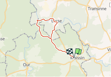

11,5 km | 14,5 km-effort

Randonnées du CGT GUIDE+


Gratisgps-wandelapplicatie
 SityTrail
IGN / Geografische instituten
SityTrail World
De wereld gaat voor u open
Tocht Te voet van 11 km beschikbaar op Wallonië, Luxemburg, Paliseul. Deze tocht wordt voorgesteld door Commissariat général au Tourisme.
Trail created by Pays de Bouillon en Ardenne.
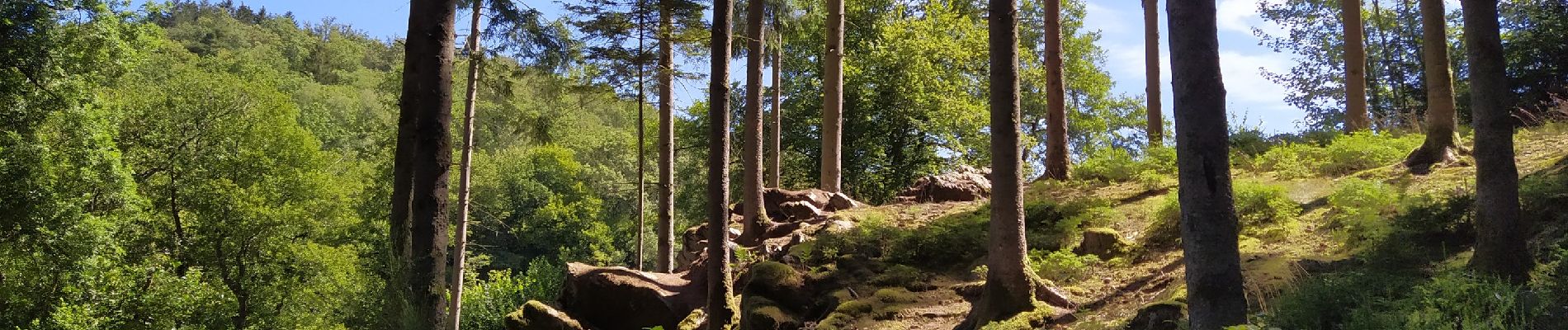
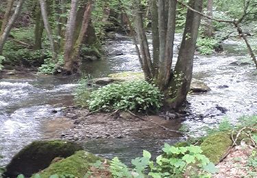
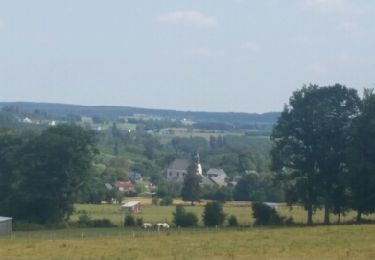
Een mooie wandeling vanuit Maissin via de begraafplaats Pierre Massé (14-18). Ontmoeting met de Lesse en haar zijrivier de Our.


Stappen

Stappen
Stappen

Stappen
Stappen

Stappen

Stappen

Stappen
Stappen