


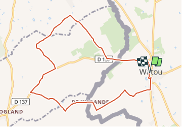

10,8 km | 12,5 km-effort

Tous les sentiers balisés d’Europe PRO


Gratisgps-wandelapplicatie
 SityTrail
IGN / Geografische instituten
SityTrail World
De wereld gaat voor u open
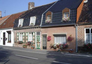
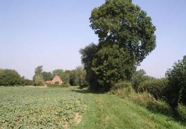
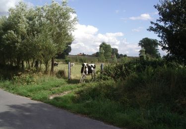
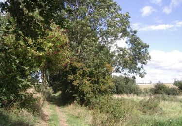
Tocht Te voet van 9,4 km beschikbaar op Vlaanderen, West-Vlaanderen, Poperinge. Deze tocht wordt voorgesteld door SityTrail - itinéraires balisés pédestres.
Website: http://www.watoudorp.be/wandelen.htm

Te voet
Paard
Stappen
Stappen
Stappen
Stappen

Stappen
Stappen