


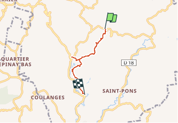

10,3 km | 18,6 km-effort


Gebruiker


Gratisgps-wandelapplicatie
 SityTrail
IGN / Geografische instituten
SityTrail World
De wereld gaat voor u open
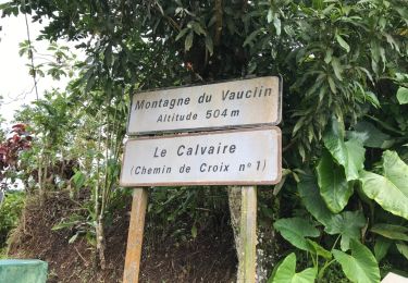
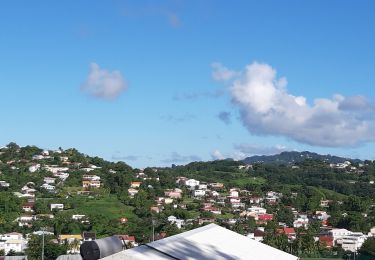
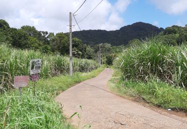
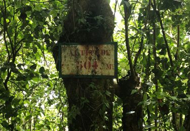
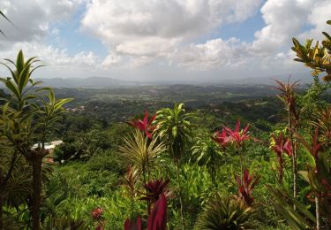
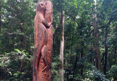
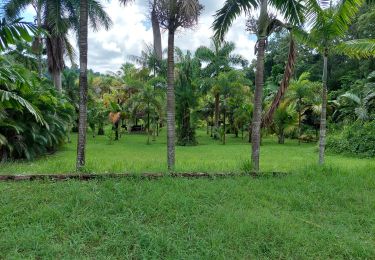
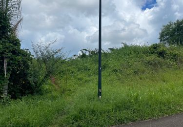
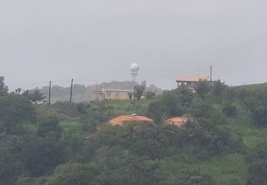
Tocht Stappen van 4,9 km beschikbaar op Martinique, Onbekend, Rivière-Pilote. Deze tocht wordt voorgesteld door PIERRELOUIS ALEX.


Andere activiteiten
Stappen
Stappen
Stappen
Stappen
Stappen
Stappen
Noords wandelen
Stappen