


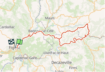

27 km | 34 km-effort


Gebruiker


Gratisgps-wandelapplicatie
 SityTrail
IGN / Geografische instituten
SityTrail World
De wereld gaat voor u open
Tocht Fietstoerisme van 89 km beschikbaar op Occitanië, Lot, Figeac. Deze tocht wordt voorgesteld door Briffotaux.
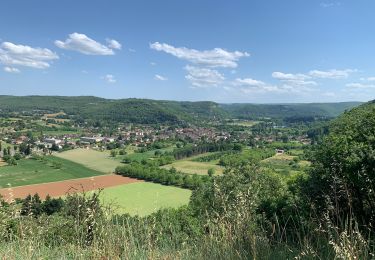
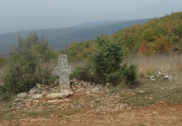
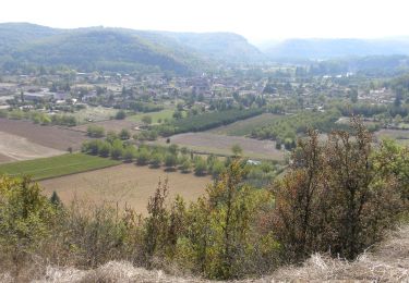
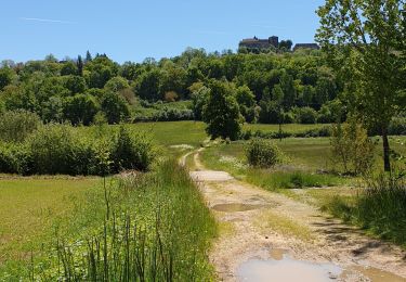
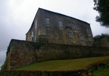
Viazac-Bagnac-St Santin-Port d'Agrès-La vallée du Lot-St Parthem-Cassaniouze-D25-La maison rouge-St Julien de Piganiol-St Santin-Bagnac-Viazac
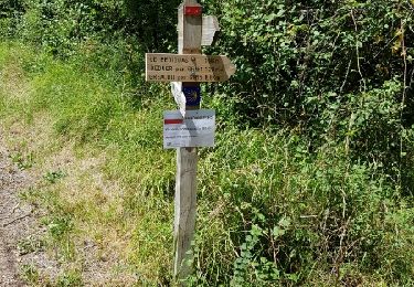
Stappen
Stappen
Stappen
Stappen
Mountainbike

sport
Mountainbike
Stappen
Stappen