


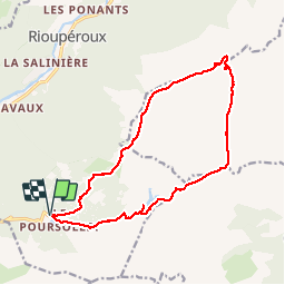

10,3 km | 16,8 km-effort

Gebruiker


Gratisgps-wandelapplicatie
 SityTrail
IGN / Geografische instituten
SityTrail World
De wereld gaat voor u open
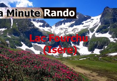
Tocht Stappen van 16,4 km beschikbaar op Auvergne-Rhône-Alpes, Isère, Livet-et-Gavet. Deze tocht wordt voorgesteld door Emelle.
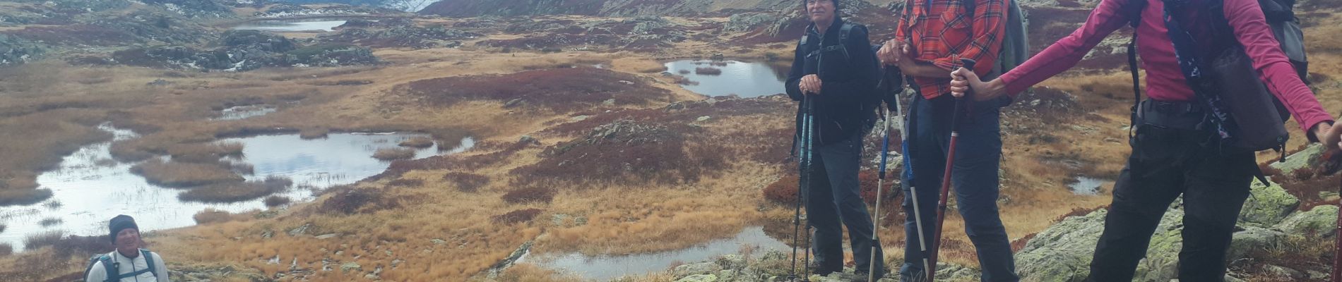
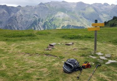
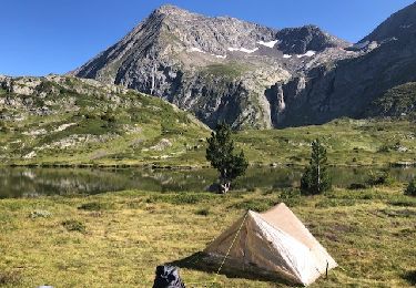
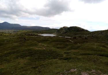
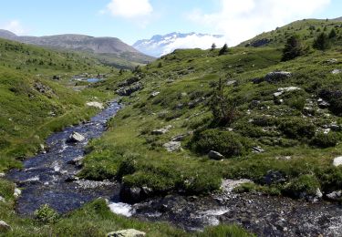
Beau circuit sauvage sans difficulté technique hormis la recherche de l'itinéraire car une bonne partie hors sentier


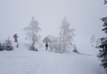
Sneeuwschoenen
Stappen
Stappen
Te voet
Te voet
Stappen
Stappen

Stappen
Stappen