


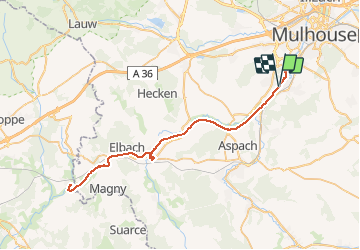

7,4 km | 9,7 km-effort


Gebruiker


Gratisgps-wandelapplicatie
 SityTrail
IGN / Geografische instituten
SityTrail World
De wereld gaat voor u open
Tocht Elektrische fiets van 69 km beschikbaar op Grand Est, Haut-Rhin, Zillisheim. Deze tocht wordt voorgesteld door MIFE68.
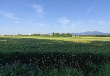
départ stade de foot de Zillisheim (parking). On suit la piste cyclable le long du canal du Rhone au Rhin.
Petite pause à Dannemarie.
Continuation jusqu'au territoire de Belfort et retour par la même voie.


Te voet
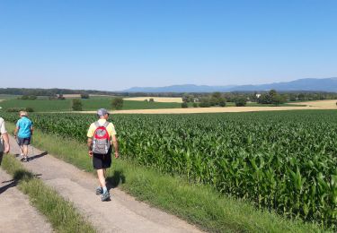
Stappen
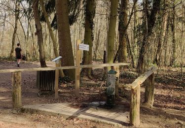
Stappen
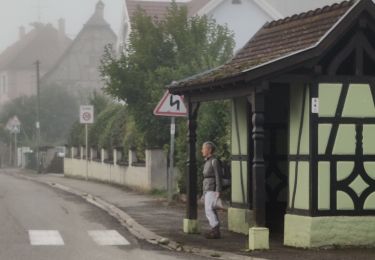
Stappen
Andere activiteiten
Stappen
Stappen
Stappen
Stappen