


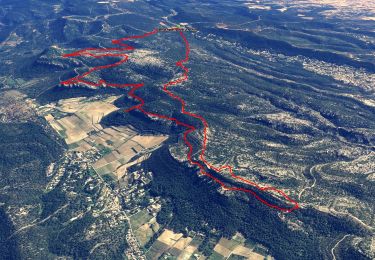
16,5 km | 24 km-effort

Gebruiker


Gratisgps-wandelapplicatie
 SityTrail
IGN / Geografische instituten
SityTrail World
De wereld gaat voor u open
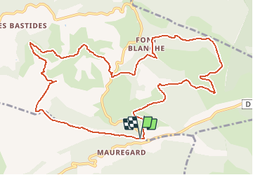
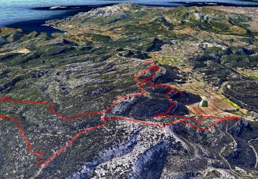
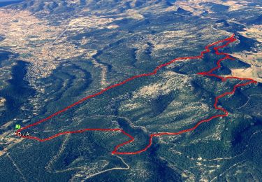
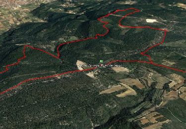
Tocht Stappen van 14,1 km beschikbaar op Provence-Alpes-Côte d'Azur, Bouches-du-Rhône, Roquefort-la-Bédoule. Deze tocht wordt voorgesteld door aja.
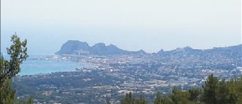
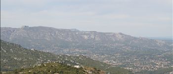
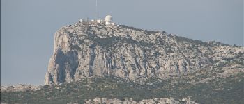
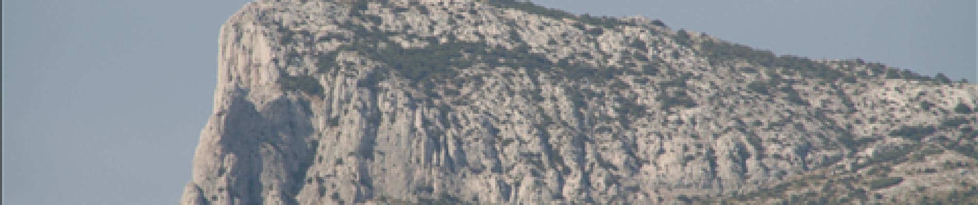
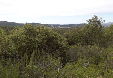
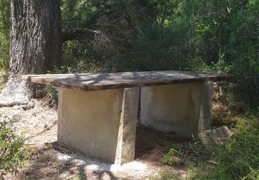
Ce circuit dans la forêt et autour des Barres de Font Blanche emprunte de larges sentiers. Il offre des points de vues sur toute la Provence méditerranéenne; des Alpilles au loin au Nord-Ouest, au Mont Côme et au Cap Sicié au Sud-Est, en passant par la Sainte-Baume et la Sainte-Victoire au Nord, sans oublier le Garlaban, la chaîne de l'Etoile et le massif des Calanques.


Stappen
Stappen
Stappen
Stappen
Stappen

Stappen

Noords wandelen
Noords wandelen
Stappen