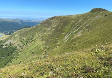
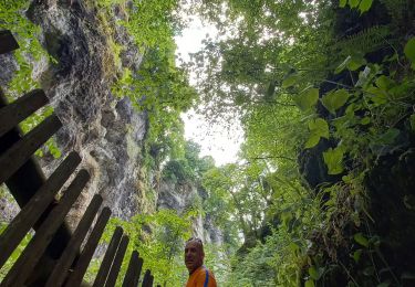
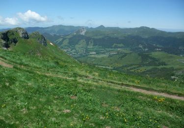
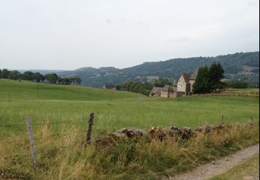
Tocht Stappen Pailherols - Le sentier des gentianes - Pailherols - Photo

Le sentier des gentianes - Pailherols

 tracegps
tracegps

Gebruiker

© OpenStreetMap contributors
Lengte
Lengte
13,7 km
Max. hoogte
Max. hoogte
1300 m
Positief hoogteverschil
354 m
Km-Effort
Km-Effort  
18,4 km
Min. hoogte
Min. hoogte
1029 m
Negatief hoogteverschil
355 m
Boucle
Boucle
Ja
Datum van aanmaak :
2014-12-10 00:00:00.0
Laatste wijziging :
2014-12-10 00:00:00.0

(0 Bericht)

Stappen
Stappen
3h30
Moeilijkheid : Medium

Scan deze QR-code om de tocht te openen in de SityTrail-applicatie

Gratisgps-wandelapplicatie

Logo SityTrail SityTrail

IGN / Geografische instituten

SityTrail uit de App Store downloaden SityTrail uit Google Play downloaden

Logo SityTrail SityTrail World

De wereld gaat voor u open

SityTrail uit de App Store downloaden SityTrail uit Google Play downloaden SityTrail op Huawei AppGallery downloaden

Over ons

Tocht Stappen van 13,7 km beschikbaar op Auvergne-Rhône-Alpes, Cantal, Pailherols. Deze tocht wordt voorgesteld door tracegps.

Beschrijving

Un beau petit itinéraire pour découvrir les montagnes du Cantal et reconnaitre la gentiane. Ses feuilles sont opposées et sa fleur est jaune. Il ne faut pas la confondre avec le vératre qui est nocif, dont la fleur est blanche et surtout dont les feuilles sont alternées.

Hoogteprofiel

Foto's

POI's

POI Pailherols - depart - Photo
tracegps
PAILHEROLS 

Plaatsbepaling

Land:
France
Regio :
Auvergne-Rhône-Alpes
Departement/Provincie :
Cantal
Gemeente :
Pailherols
Locatie:
Unknown
Vertrek:(Dec)
Vertrek:(UTM)
475133 ; 4977528 (31T) N.

Wandeltochten in de omgeving

Tocht Stappen Pailherols - Pailherols  route de la montagne, plomb du Cantal - Photo
Stappen
GUIDE
antignacs

Stappen

Medium
Pailherols, Auvergne-Rhône-Alpes, Cantal, France
22 km | 32 km-effort
7h 21min
Ja
Tocht Stappen Jou-sous-Monjou - Cantal - Jou sous Monjou - 7.7km 300m 2h40 - 2019 06 27 - Photo
Stappen
GUIDE
Orcal37

Stappen

Gemakkelijk
Jou-sous-Monjou, Auvergne-Rhône-Alpes, Cantal, France
7,7 km | 11,7 km-effort
2h 40min
Ja
Tocht Trail Vic-sur-Cère - Cascade, la Garde, grotte des anglais  - Photo
Trail
GUIDE
nadd73

Trail

Gemakkelijk
Vic-sur-Cère, Auvergne-Rhône-Alpes, Cantal, France
9,2 km | 16,7 km-effort
1h 49min
Ja
Tocht Stappen Pailherols - Pailherols chapelle du Cantal  - Photo
Stappen
GUIDE
antignacs

Stappen

Medium
Pailherols, Auvergne-Rhône-Alpes, Cantal, France
21 km | 29 km-effort
5h 29min
Ja
Tocht Stappen Vic-sur-Cère - Pas de Cère- cascade de Gourdole - Photo
Stappen
crocau

Stappen

Heel gemakkelijk
Vic-sur-Cère, Auvergne-Rhône-Alpes, Cantal, France
4,7 km | 6,6 km-effort
2h 0min
Ja
Tocht Stappen Pailherols - rando sentier des  gentianes - Photo
Stappen
Sandrine 15

Stappen

Medium
Pailherols, Auvergne-Rhône-Alpes, Cantal, France
13,1 km | 17,7 km-effort
3h 20min
Ja
Tocht Stappen Pailherols - Du refuge des Fraux au Plomb du Cantal - Photo
Stappen
tracegps

Stappen

Moeilijk
Pailherols, Auvergne-Rhône-Alpes, Cantal, France
22 km | 32 km-effort
7h 0min
Ja
Tocht Stappen Pailherols - Vallée de Monjou.  - Photo
Stappen
th.feur

Stappen

Heel gemakkelijk
(1)
Pailherols, Auvergne-Rhône-Alpes, Cantal, France
15,5 km | 21 km-effort
5h 32min
Ja
Tocht Stappen Vic-sur-Cère - La Via Arverna (Vic-sur-Cère - Aurillac) - Photo
Stappen
tracegps

Stappen

Moeilijk
Vic-sur-Cère, Auvergne-Rhône-Alpes, Cantal, France
23 km | 32 km-effort
7h 0min
Neen


Sluiten
Mijn abonnementen