


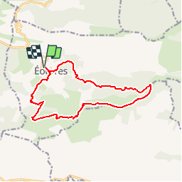

13,3 km | 23 km-effort

Gebruiker


Gratisgps-wandelapplicatie
 SityTrail
IGN / Geografische instituten
SityTrail World
De wereld gaat voor u open
Tocht Stappen van 14,8 km beschikbaar op Provence-Alpes-Côte d'Azur, Hautes-Alpes, Éourres. Deze tocht wordt voorgesteld door tracegps.
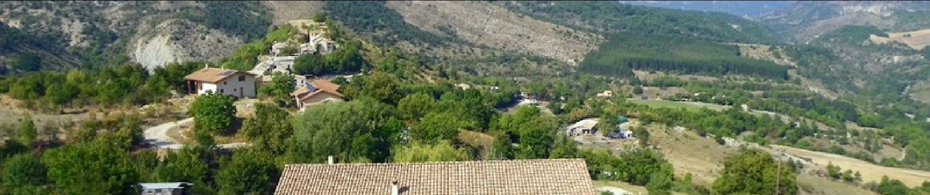
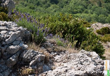
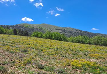
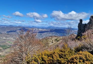
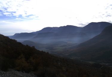
Voila une superbe randonnée, dans les Hautes Alpes, limite de la Drôme, beaux sentier avec environ 5 km de crête vraiment superbe. Arrivé au niveau de la tatie le retour par la droite est certainement plus facile. Retrouvez d'autres photos du circuit.


Stappen

Stappen
Stappen
Stappen
Stappen

Stappen
Stappen

Lopen
Stappen