


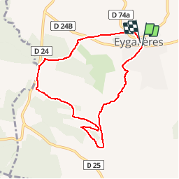


16 km | 18,8 km-effort


Gebruiker


Gratisgps-wandelapplicatie
 SityTrail
IGN / Geografische instituten
SityTrail World
De wereld gaat voor u open
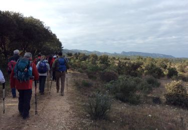
Tocht Stappen van 8,2 km beschikbaar op Provence-Alpes-Côte d'Azur, Bouches-du-Rhône, Eygalières. Deze tocht wordt voorgesteld door Amaralain.
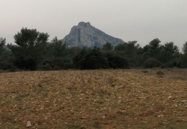
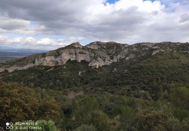
Départ Mairie d'Eygalières - Les Molassis - Val Aurouso - Fort d'Ancise - Les Cordeliers et retour mairie.

Stappen
Stappen
Stappen
Stappen

Stappen
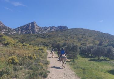
Paardrijden
Stappen

Paard
Stappen
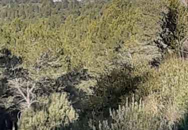
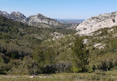
Aussi un très beau jogging d'environ 45 min une une courte montée tonique