


13,3 km | 14,9 km-effort

Gebruiker


Gratisgps-wandelapplicatie
 SityTrail
IGN / Geografische instituten
SityTrail World
De wereld gaat voor u open
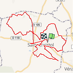
Tocht Stappen van 14,8 km beschikbaar op Occitanië, Hérault, Entre-Vignes. Deze tocht wordt voorgesteld door tracegps.
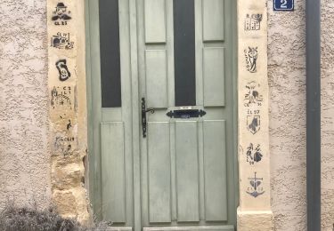
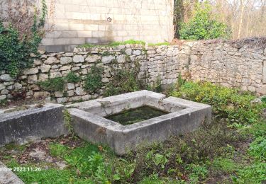
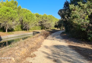
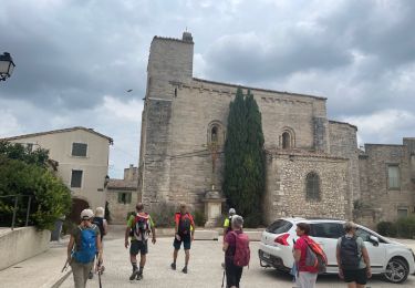
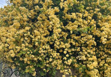
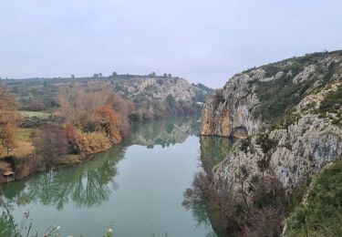
Le parcours des Chevaliers de Malte à Saint-Christol. 15 km pour randonneurs confirmés, accessible aux vélos, dans des paysages de vignes et de bois, au gré de croix d’architectures diverses, témoignages de la foi locale mais aussi symboles d’évènements marquants. Télécharger la fiche rando.


Stappen
Stappen
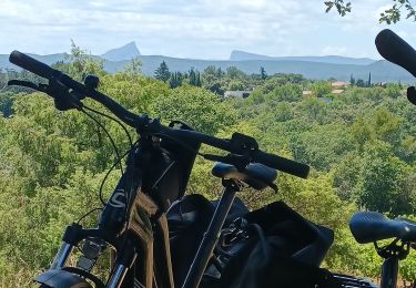
Elektrische fiets
Stappen
Stappen
Stappen
Stappen
Stappen