32 km | 41 km-effort
Gratens - Bois de Lautignac
tracegps
Gebruiker
Lengte
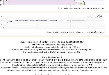
21 km
Max. hoogte
343 m
Positief hoogteverschil
386 m
Km-Effort
26 km
Min. hoogte
230 m
Negatief hoogteverschil
386 m
Boucle
Ja
Datum van aanmaak :
2014-12-10 00:00:00.0
Laatste wijziging :
2014-12-10 00:00:00.0
1h40
Moeilijkheid : Medium
Gratisgps-wandelapplicatie
Over ons
Tocht Mountainbike van 21 km beschikbaar op Occitanië, Haute-Garonne, Gratens. Deze tocht wordt voorgesteld door tracegps.
Beschrijving
A la recherche du maximum de pistes, on saute de bois en Touch.
Plaatsbepaling
Land:
France
Regio :
Occitanië
Departement/Provincie :
Haute-Garonne
Gemeente :
Gratens
Locatie:
Unknown
Vertrek:(Dec)
Vertrek:(UTM)
346907 ; 4798943 (31T) N.
Opmerkingen
Wandeltochten in de omgeving
Boucle du Fousseret au Touch
Mountainbike
Moeilijk
(1)
Gratens,
Occitanië,
Haute-Garonne,
France
2h 30min
Ja
Bérat - Labastide Clermont - Gratens
Fiets
Medium
Bérat,
Occitanië,
Haute-Garonne,
France
20 km | 22 km-effort
1h 30min
Ja
Le tour du lac de Savères
Te voet
Gemakkelijk
Savères,
Occitanië,
Haute-Garonne,
France
3,1 km | 3,7 km-effort
50min
Neen
Randonnée en boucle à Gratens
Stappen
Medium
Gratens,
Occitanië,
Haute-Garonne,
France
12,1 km | 15 km-effort
3h 0min
Ja
Boucle autour de Gratens
Mountainbike
Medium
Gratens,
Occitanië,
Haute-Garonne,
France
12,2 km | 15,4 km-effort
1h 30min
Ja
Le Fousseret court fait 2024
Stappen
Gemakkelijk
Le Fousseret,
Occitanië,
Haute-Garonne,
France
10,5 km | 12,7 km-effort
2h 29min
Ja
le fou jp
Stappen
Moeilijk
Le Fousseret,
Occitanië,
Haute-Garonne,
France
10,6 km | 12,7 km-effort
2h 53min
Ja
Le Fousseret Alain
Stappen
Moeilijk
Le Fousseret,
Occitanië,
Haute-Garonne,
France
10,6 km | 12,8 km-effort
2h 30min
Ja
Clermont alain
Stappen
Moeilijk
Labastide-Clermont,
Occitanië,
Haute-Garonne,
France
10,8 km | 12,6 km-effort
2h 20min
Ja