Peio, Provincia di Trento: Top van de beste wandelroutes, trajecten, tochten en wandelingen

Peio: Ontdek de beste tochten: 16 te voet. Al deze tochten, trajecten, routes en outdoor activiteiten zijn beschikbaar in onze SityTrail-apps voor smartphones en tablets.


De beste trajecten (16)
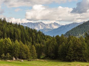
Tocht Te voet Peio - IT-O127 - Photo
Te voet 10.118
Km
GUIDE+

Te voet

Gemakkelijk
Peio, Trento-Zuid-Tirol, Provincia di Trento, Italy
10,1 km | 13,9 km-effort
3h 9min
248 m
384 m
Neen
SityTrail - itinéraires balisés pédestres

• Trail created by Società degli Alpinisti Tridentini. Website: http://www.sat.tn.it/
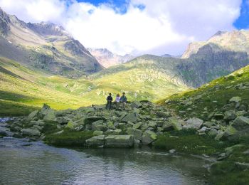
Tocht Te voet Peio - IT-O141 - Photo
Te voet 4.214
Km
GUIDE+

Te voet

Gemakkelijk
Peio, Trento-Zuid-Tirol, Provincia di Trento, Italy
4,2 km | 8,9 km-effort
2h 1min
348 m
361 m
Neen
SityTrail - itinéraires balisés pédestres

• Trail created by Società degli Alpinisti Tridentini. Symbol: 141 on white ref flag Website: http://www.sat.tn.it/
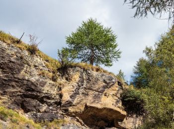
Tocht Te voet Peio - Sentiero della Val Cadini - Photo
Te voet 5.627
Km
GUIDE+

Te voet

Gemakkelijk
Peio, Trento-Zuid-Tirol, Provincia di Trento, Italy
5,6 km | 11,4 km-effort
2h 35min
437 m
414 m
Neen
SityTrail - itinéraires balisés pédestres

• Trail created by Società degli Alpinisti Tridentini. Symbol: 129 on white ref flag Website: http://www.sat.tn.it/
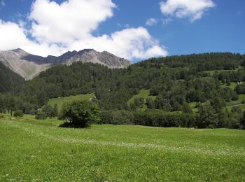
Tocht Te voet Peio - IT-O124 - Photo
Te voet 9.117
Km
GUIDE+

Te voet

Gemakkelijk
Peio, Trento-Zuid-Tirol, Provincia di Trento, Italy
9,1 km | 12,1 km-effort
2h 44min
77 m
657 m
Neen
SityTrail - itinéraires balisés pédestres

• Trail created by Società degli Alpinisti Tridentini. Symbol: 124 on white ref flag Website: http://www.sat.tn.it/
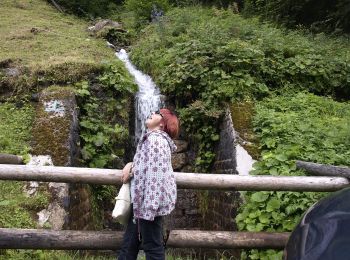
Tocht Te voet Peio - (SI C02) Pejo - Malga Ponte Vecchio - Malga Verdignana - Passo Cercena - Malga Cercena Alta - Malga Cercena Bassa - Bagni di Rabbi - Photo
Te voet 22.866
Km
GUIDE+

Te voet

Moeilijk
Peio, Trento-Zuid-Tirol, Provincia di Trento, Italy
23 km | 40 km-effort
9h 9min
1222 m
1553 m
Neen
SityTrail - itinéraires balisés pédestres

• Sentiero Italia CAI 2019

Tocht Te voet Peio - Sentiero dei Tedeschi - Photo
Te voet 7.679
Km
GUIDE+

Te voet

Gemakkelijk
Peio, Trento-Zuid-Tirol, Provincia di Trento, Italy
7,7 km | 12,9 km-effort
2h 55min
405 m
342 m
Neen
SityTrail - itinéraires balisés pédestres

• Trail created by Società degli Alpinisti Tridentini. Symbol: 139 on white red flag Website: http://www.sat.tn.it/
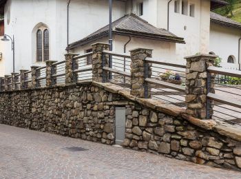
Tocht Te voet Peio - Sentiero attrezzato del Vioz - Photo
Te voet 9.982
Km
GUIDE+

Te voet

Medium
Peio, Trento-Zuid-Tirol, Provincia di Trento, Italy
10 km | 29 km-effort
6h 42min
1951 m
0 m
Neen
SityTrail - itinéraires balisés pédestres

• Trail created by Società degli Alpinisti Tridentini. Symbol: 105 on white red flag Website: http://www.sat.tn.it/
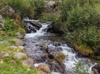
Tocht Te voet Peio - IT-O123 - Photo
Te voet 6.191
Km
GUIDE+

Te voet

Gemakkelijk
Peio, Trento-Zuid-Tirol, Provincia di Trento, Italy
6,2 km | 9,2 km-effort
2h 5min
65 m
701 m
Neen
SityTrail - itinéraires balisés pédestres

• Trail created by Società degli Alpinisti Tridentini. Website: http://www.sat.tn.it/
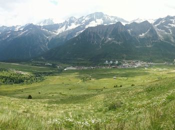
Tocht Te voet Peio - IT-O111 - Photo
Te voet 7.818
Km
GUIDE+

Te voet

Gemakkelijk
Peio, Trento-Zuid-Tirol, Provincia di Trento, Italy
7,8 km | 16,3 km-effort
3h 42min
656 m
578 m
Neen
SityTrail - itinéraires balisés pédestres

• Trail created by Società degli Alpinisti Tridentini. Website: http://www.sat.tn.it/
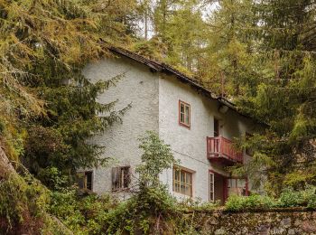
Tocht Te voet Peio - Sentiero delle carbonaie - Photo
Te voet 4.774
Km
GUIDE+

Te voet

Gemakkelijk
Peio, Trento-Zuid-Tirol, Provincia di Trento, Italy
4,8 km | 10,3 km-effort
2h 20min
516 m
104 m
Neen
SityTrail - itinéraires balisés pédestres

• Trail created by Società degli Alpinisti Tridentini. Website: http://www.sat.tn.it/
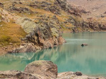
Tocht Te voet Peio - IT-O104A - Photo
Te voet 3.25
Km
GUIDE+

Te voet

Gemakkelijk
Peio, Trento-Zuid-Tirol, Provincia di Trento, Italy
3,2 km | 6,2 km-effort
1h 24min
285 m
34 m
Neen
SityTrail - itinéraires balisés pédestres

• Trail created by Società degli Alpinisti Tridentini. Symbol: 104A on white red flag Website: http://www.sat.tn.it/
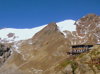
Tocht Te voet Peio - IT-O102 - Photo
Te voet 4.079
Km
GUIDE+

Te voet

Gemakkelijk
Peio, Trento-Zuid-Tirol, Provincia di Trento, Italy
4,1 km | 10,3 km-effort
2h 20min
617 m
6 m
Neen
SityTrail - itinéraires balisés pédestres

• Trail created by Società degli Alpinisti Tridentini. Symbol: 102 on white red flag Website: http://www.sat.tn.it/
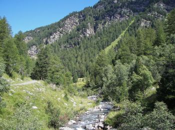
Tocht Te voet Peio - IT-O140B - Photo
Te voet 4.803
Km
GUIDE+

Te voet

Gemakkelijk
Peio, Trento-Zuid-Tirol, Provincia di Trento, Italy
4,8 km | 7 km-effort
1h 35min
41 m
548 m
Neen
SityTrail - itinéraires balisés pédestres

• Trail created by Società degli Alpinisti Tridentini. Website: http://www.sat.tn.it/
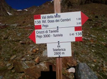
Tocht Te voet Peio - IT-O138 - Photo
Te voet 3.446
Km
GUIDE+

Te voet

Gemakkelijk
Peio, Trento-Zuid-Tirol, Provincia di Trento, Italy
3,4 km | 5,6 km-effort
1h 16min
0 m
657 m
Neen
SityTrail - itinéraires balisés pédestres

• Trail created by Società degli Alpinisti Tridentini. Website: http://www.sat.tn.it/

Tocht Te voet Peio - IT-O140 - Photo
Te voet 7.093
Km
GUIDE+

Te voet

Gemakkelijk
Peio, Trento-Zuid-Tirol, Provincia di Trento, Italy
7,1 km | 10,6 km-effort
2h 23min
163 m
550 m
Neen
SityTrail - itinéraires balisés pédestres

• Trail created by Società degli Alpinisti Tridentini. Website: http://www.sat.tn.it/

Tocht Te voet Peio - IT-O122 - Photo
Te voet 4.86
Km
GUIDE+

Te voet

Gemakkelijk
Peio, Trento-Zuid-Tirol, Provincia di Trento, Italy
4,9 km | 8,1 km-effort
1h 50min
0 m
983 m
Neen
SityTrail - itinéraires balisés pédestres

• Trail created by Società degli Alpinisti Tridentini. Symbol: 122 on white red flag Website: http://www.sat.tn.it/

16 tochten weergegeven op 16

Gratisgps-wandelapplicatie

Logo SityTrail SityTrail

IGN / Geografische instituten

SityTrail uit de App Store downloaden SityTrail uit Google Play downloaden

Logo SityTrail SityTrail World

De wereld gaat voor u open

SityTrail uit de App Store downloaden SityTrail uit Google Play downloaden SityTrail op Huawei AppGallery downloaden

Activiteiten

Sluiten
Mijn abonnementen