


16,8 km | 22 km-effort
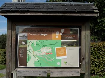
Érezée: Ontdek de beste tochten: 162 stappen, 1 lopen, 7 noords wandelen, 2 trail en 33 te voet. Al deze tochten, trajecten, routes en outdoor activiteiten zijn beschikbaar in onze SityTrail-apps voor smartphones en tablets.
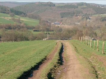
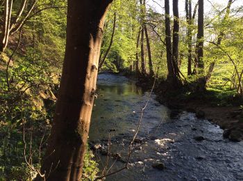
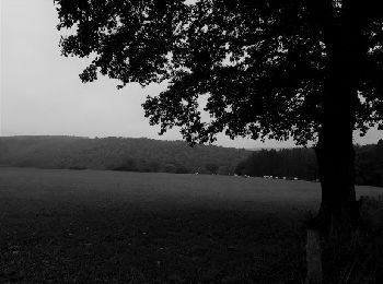
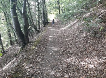
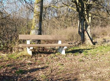
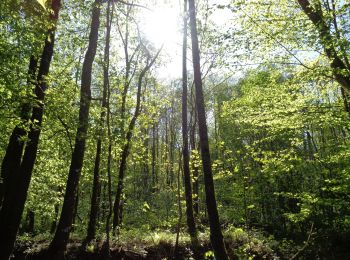
Stappen


• Érezée, Fisenne, Soy, Trinal, Fisenne, Erezée Cartographie et documentation : Cartes IGN 1 : 20 000, 55/1-2 « Durbuy...
Stappen
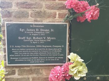
Stappen
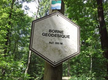
Stappen
• Érezée, Fisenne, Soy, Trinal, Magoster, Blier, Fisenne, Erezée Cartographie et documentation Cartes IGN 1 : 20 00...
Stappen
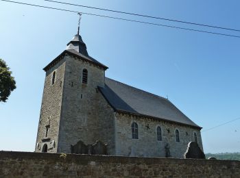
Stappen
Stappen

Stappen
Te voet
• Trail created by Office Communal du Tourisme Durbuy. Symbol: white rectangle on green background
Te voet
• Trail created by SI Erezée. Website: http://www.luxembourg-belge.be/diffusio/fr/voir-faire/balades-randos/a-pied/c...
Te voet
• Trail created by SI Erezée. Website: http://www.luxembourg-belge.be/diffusio/fr/voir-faire/balades-randos/a-pied/c...
Te voet
• Trail created by SI Erezée. Website: http://www.luxembourg-belge.be/diffusio/fr/voir-faire/balades-randos/a-pied/c...
Te voet
• Trail created by SI Erezée. Website: http://www.luxembourg-belge.be/diffusio/fr/voir-faire/balades-randos/a-pied/c...
Te voet
• Trail created by SI Erezée. Website: http://www.luxembourg-belge.be/diffusio/fr/voir-faire/balades-randos/a-pied/c...
Te voet
• Trail created by SI Erezée. Website: http://www.luxembourg-belge.be/diffusio/fr/voir-faire/balades-randos/a-pied/c...
Te voet
• Trail created by SI Erezée. Website: http://www.luxembourg-belge.be/diffusio/fr/voir-faire/balades-randos/a-pied/c...
Stappen
Stappen
Stappen
Stappen
• More information on : http://www.wandelgidszuidlimburg.com
20 tochten weergegeven op 204
Gratisgps-wandelapplicatie
 SityTrail
IGN / Geografische instituten
SityTrail World
De wereld gaat voor u open