


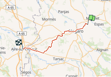


18.1 km | 22 km-effort

User


FREE GPS app for hiking
 SityTrail
IGN / Geographical institutes
SityTrail World
The world is yours!
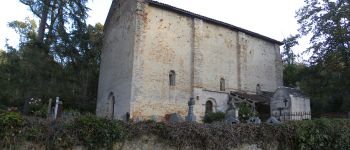
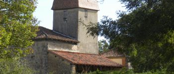
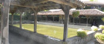
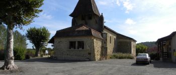
Trail Walking of 35 km to be discovered at Occitania, Gers, Cravencères. This trail is proposed by Ardeiserois.
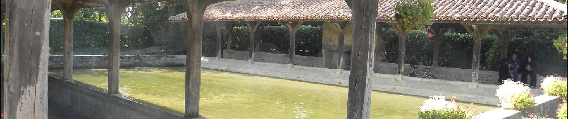
Douzième étape dimanche 4 octobre 2009, Le Haguet / Aire sur l'Adour.
Départ :8h27
Arrivée :15h45
Petite étape en comparaison de mes précédentes, l’accueil et la disponibilité d'Odile et André sont au dessus de tout. Nouveaux soins plantaires pratiqués par André, je n'aurai plus désormais à souffrir de ce coté. Merci encore à André pour les conseils pour la future partie espagnole.


Walking
Walking


Horseback riding
Walking
Walking
Walking
Walking
Walking