Randonnée Marche Estérençuby - Harpéa  - Photo
 mickmimiver
mickmimiver

Utilisateur

© OpenStreetMap contributors
Longueur
Longueur
15,9 km
Altitude max
Altitude max
1195 m
Dénivelé positif
Dénivelé positif
954 m
Km-Effort
Km-Effort  
29 km
Altitude min
Altitude min
353 m
Dénivelé négatif
Dénivelé négatif
956 m
Boucle
Boucle
Oui
Date de création :
2017-05-08 00:00:00.0
Dernière modification :
2017-05-08 00:00:00.0

(0 Avis)

Marche
Marche
5h52
Difficulté : Moyen

Scannez ce code QR pour ouvrir la randonnée dans l'application SityTrail

Application GPS de randonnée GRATUITE

Logo SityTrail SityTrail

IGN / Instituts géographiques

Télécharger SityTrail sur l'App Store Télécharger SityTrail sur Google Play

Logo SityTrail SityTrail World

Le monde est à vous

Télécharger SityTrail sur l'App Store Télécharger SityTrail sur Google Play Télécharger SityTrail sur Huawei AppGallery

À propos

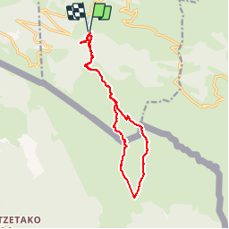
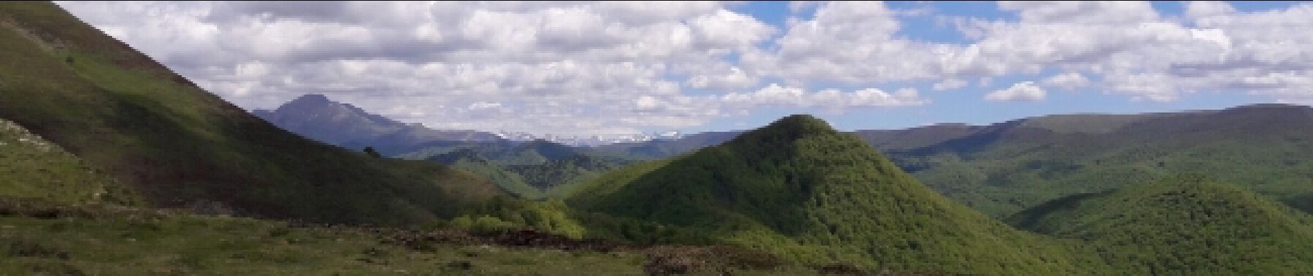
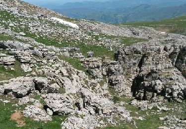
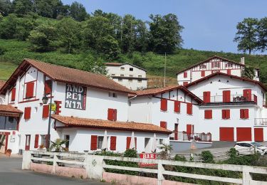
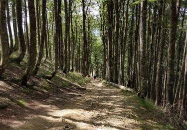
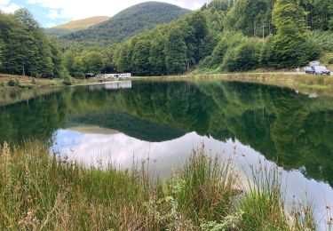
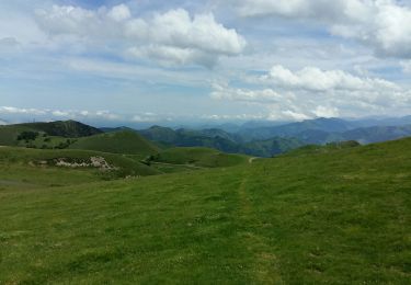
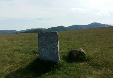
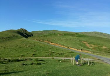
Randonnée Marche de 15,9 km à découvrir à Nouvelle-Aquitaine, Pyrénées-Atlantiques, Estérençuby. Cette randonnée est proposée par mickmimiver.

Description

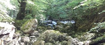
Source de la Nive et grotte Harpéa

Profil altimétrique

Photos

Points d'intérêt

Point d'intérêt Estérençuby - Source de la Nive - Photo
mickmimiver
ESTÉRENÇUBY 

Localisation

Pays :
France
Région :
Nouvelle-Aquitaine
Département/Province :
Pyrénées-Atlantiques
Commune :
Estérençuby
Localité :
Unknown
Départ:(Dec)
Départ:(UTM)
647025 ; 4769522 (30T) N.

Randonnées à proximité

Randonnée Marche Estérençuby - URCULU 2015 05 12 effectuée - Photo
Marche
DECHAMPD

Marche

Moyen
(2)
Estérençuby, Nouvelle-Aquitaine, Pyrénées-Atlantiques, France
12,3 km | 19,6 km-effort
3h 46min
Oui
Randonnée Marche Estérençuby - GROTTE D'HARPEA - Photo
Marche
PVERTICAL

Marche

Moyen
(1)
Estérençuby, Nouvelle-Aquitaine, Pyrénées-Atlantiques, France
12,1 km | 23 km-effort
4h 49min
Oui
Randonnée Marche Estérençuby - Esterençuby au col de Ernagako Borda - 6 km de randonnée - Photo
Marche
Marie-Claire-mcp

Marche

Très difficile
Estérençuby, Nouvelle-Aquitaine, Pyrénées-Atlantiques, France
13,3 km | 22 km-effort
5h 4min
Non
Randonnée Marche Saint-Michel - compostelle - camino Frances J2 : de Orisson à Espinal - Photo
Marche
webmammuth

Marche

Moyen
Saint-Michel, Nouvelle-Aquitaine, Pyrénées-Atlantiques, France
20 km | 28 km-effort
7h 30min
Non
Randonnée Marche Estérençuby - GR 10 7ème étape : gîte de Kaskoleta - com d’Okabe - chalet Iraty - Photo
Marche
LEGUE

Marche

Difficile
Estérençuby, Nouvelle-Aquitaine, Pyrénées-Atlantiques, France
23 km | 41 km-effort
6h 27min
Non
Randonnée Marche Lecumberry - gr10t - Photo
Marche
GUIDE
marmotte65

Marche

Très difficile
Lecumberry, Nouvelle-Aquitaine, Pyrénées-Atlantiques, France
12 km | 19,6 km-effort
6h 40min
Non
Randonnée Marche Lecumberry - okabe - Photo
Marche
GUIDE
marmotte65

Marche

Très difficile
Lecumberry, Nouvelle-Aquitaine, Pyrénées-Atlantiques, France
12 km | 19,6 km-effort
2h 27min
Non
Randonnée Marche Lecumberry - GRT 8 - Photo
Marche
GUIDE
marmotte65

Marche

Très difficile
Lecumberry, Nouvelle-Aquitaine, Pyrénées-Atlantiques, France
13,3 km | 22 km-effort
37min
Oui
Randonnée Marche Estérençuby - esterençuby fait  - Photo
Marche
LouisROGER

Marche

Très facile
Estérençuby, Nouvelle-Aquitaine, Pyrénées-Atlantiques, France
12,8 km | 20 km-effort
5h 41min
Oui


Fermer
Mes abonnements