


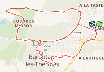

11,5 km | 13,5 km-effort


Utilisateur


Application GPS de randonnée GRATUITE
 SityTrail
IGN / Instituts géographiques
SityTrail World
Le monde est à vous
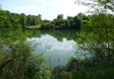
Randonnée Marche de 5,1 km à découvrir à Occitanie, Gers, Cazaubon. Cette randonnée est proposée par brum.
entre vignes et bois
Marche
Marche
Marche
V.T.T.

Marche
Marche

Vélo de route
Marche
je decu je ne pense pas que je vais renouveler mon abonnement, trop de probleme pour sauvegarder et apres telecharger les randos sur le telephone. je regarderais d'autres applications