


10,5 km | 18,1 km-effort


Utilisateur


Application GPS de randonnée GRATUITE
 SityTrail
IGN / Instituts géographiques
SityTrail World
Le monde est à vous
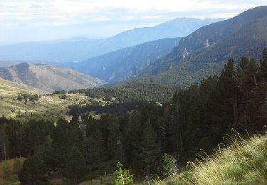
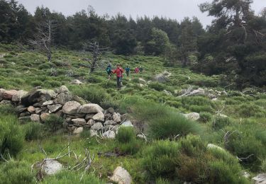
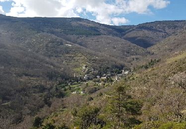
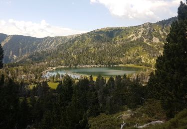
Randonnée Marche de 16,3 km à découvrir à Occitanie, Pyrénées-Orientales, Nohèdes. Cette randonnée est proposée par Jovila.
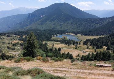
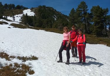
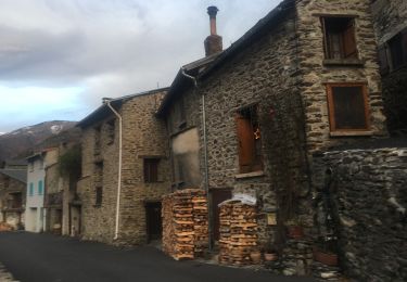
Très belle randonnée sur 2 jours avec un départ après Nohèdes suivre la route forestière jusqu'à la barrière.
Nuit au refuge de Nohèdes Font de la Perdrix.
Marche
Marche
Marche
Marche
A pied
Marche
Marche
Marche

Marche
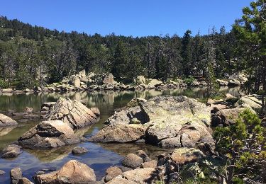
3 lacs