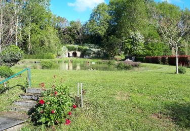
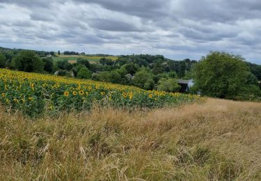
17,8 km | 20 km-effort
faverolles en berry
lecmic
Utilisateur
Longueur
17,1 km
Altitude max
147 m
Dénivelé positif
192 m
Km-Effort
19,6 km
Altitude min
91 m
Dénivelé négatif
193 m
Boucle
Oui
Date de création :
2023-05-07 05:19:04.787
Dernière modification :
2023-05-07 08:32:01.29
3h12
Difficulté : Facile
Application GPS de randonnée GRATUITE
À propos
Randonnée Marche de 17,1 km à découvrir à Centre-Val de Loire, Indre, Villentrois-Faverolles-en-Berry. Cette randonnée est proposée par lecmic.
Description
la planche
Localisation
Pays :
France
Région :
Centre-Val de Loire
Département/Province :
Indre
Commune :
Villentrois-Faverolles-en-Berry
Localité :
Villentrois
Départ:(Dec)
Départ:(UTM)
382497 ; 5226994 (31T) N.
Commentaires
Randonnées à proximité
villentrois 2019
Marche
Très facile
Villentrois-Faverolles-en-Berry,
Centre-Val de Loire,
Indre,
France
3h 13min
Non
rando faverolles en berry
Marche
Facile
Villentrois-Faverolles-en-Berry,
Centre-Val de Loire,
Indre,
France
18,2 km | 20 km-effort
3h 17min
Oui
Étape 2 2023
Marche
Très difficile
Villentrois-Faverolles-en-Berry,
Centre-Val de Loire,
Indre,
France
21 km | 24 km-effort
6h 59min
Non
j-3
Randonnée équestre
Très facile
Valençay,
Centre-Val de Loire,
Indre,
France
19,1 km | 21 km-effort
4h 0min
Non