


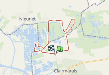


19,6 km | 21 km-effort


Utilisateur


Application GPS de randonnée GRATUITE
 SityTrail
IGN / Instituts géographiques
SityTrail World
Le monde est à vous
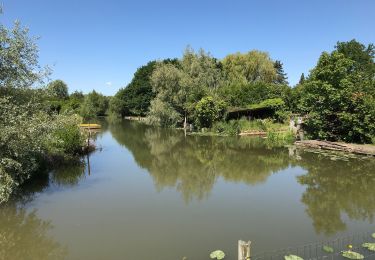
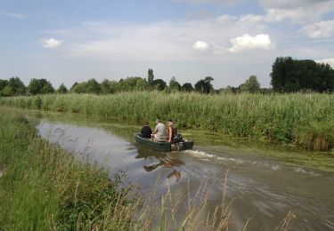
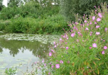
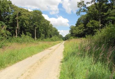
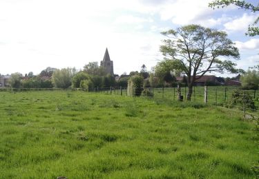
Randonnée de 6,8 km à découvrir à Hauts-de-France, Pas-de-Calais, Clairmarais. Cette randonnée est proposée par tenace.
Marche
Marche
Marche
A pied
Marche

Marche

Marche

Marche
Marche