


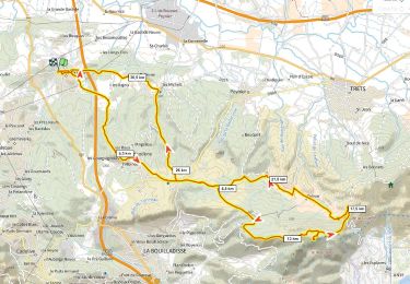
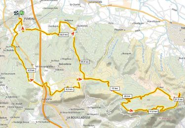
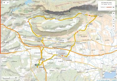
33 km | 43 km-effort


Utilisateur GUIDE


Application GPS de randonnée GRATUITE
 SityTrail
IGN / Instituts géographiques
SityTrail World
Le monde est à vous
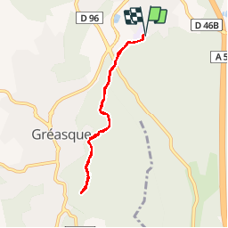
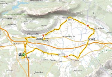
Randonnée V.T.T. de 6,7 km à découvrir à Provence-Alpes-Côte d'Azur, Bouches-du-Rhône, Fuveau. Cette randonnée est proposée par amiral13.
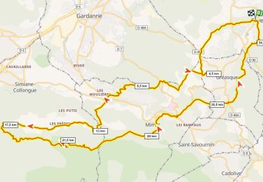
une petite balade en vélo, réalisée avec ma pitchoune de 6 ans; très contente de pouvoir jouer dans le cadre agréable du tombereau
V.T.T.
Marche
V.T.T.
Vélo de route
V.T.T.
Marche
Vélo de route
V.T.T.
Vélo de route