


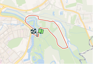

4,3 km | 4,9 km-effort

Tous les sentiers balisés d’Europe PRO


Application GPS de randonnée GRATUITE
 SityTrail
IGN / Instituts géographiques
SityTrail World
Le monde est à vous
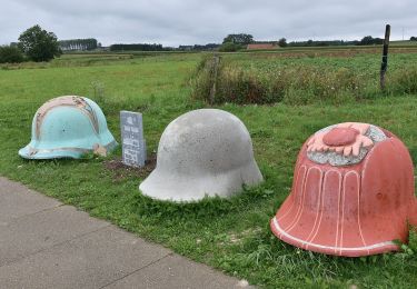
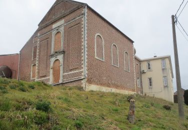
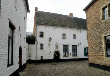
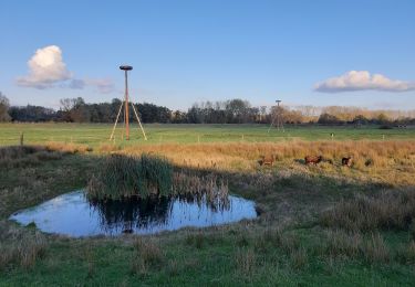
Randonnée A pied de 3,3 km à découvrir à Flandre, Brabant flamand, Diest. Cette randonnée est proposée par SityTrail - itinéraires balisés pédestres.
Randonnée créée par Regionaal Landschap Noord-Hageland.
Symbole: rectangle


A pied
A pied
A pied
A pied
A pied
A pied
A pied
A pied
A pied