


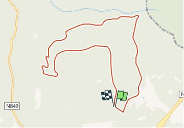

13,9 km | 17,6 km-effort


Randonnées du CGT GUIDE+


Application GPS de randonnée GRATUITE
 SityTrail
IGN / Instituts géographiques
SityTrail World
Le monde est à vous
Randonnée A pied de 9,8 km à découvrir à Wallonie, Luxembourg, Saint-Hubert. Cette randonnée est proposée par Commissariat général au Tourisme.
Randonnée créée par Forêt de Saint-Hubert.
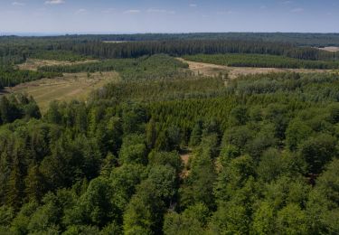
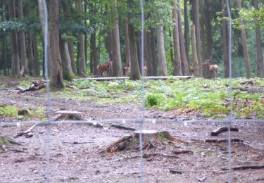
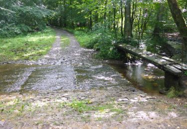
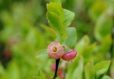
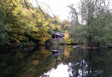
Cette promenade vous propose de découvrir les fagnes et ses paysages particuliers. Au milieu des bois composés principalement de feuillus, vous rencontrez de grandes plaines qui permettent au promeneur discret et chanceux d'apercevoir du gibier. Vous pouvez également observer des « pierriers », amas de débris de roche datant des périodes glacières.
Des panneaux d’informations à la conservation et à la sensibilisation de la nature sont placés le long du parcours.
Site web: https://www.foretdesainthubert-tourisme.be/details/LOD-A0-005L-1OY8&type=8/

Marche

Marche

Marche

Marche
Marche
Marche
Marche
Marche
Marche