


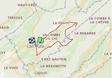

16,3 km | 31 km-effort

Utilisateur


Application GPS de randonnée GRATUITE
 SityTrail
IGN / Instituts géographiques
SityTrail World
Le monde est à vous
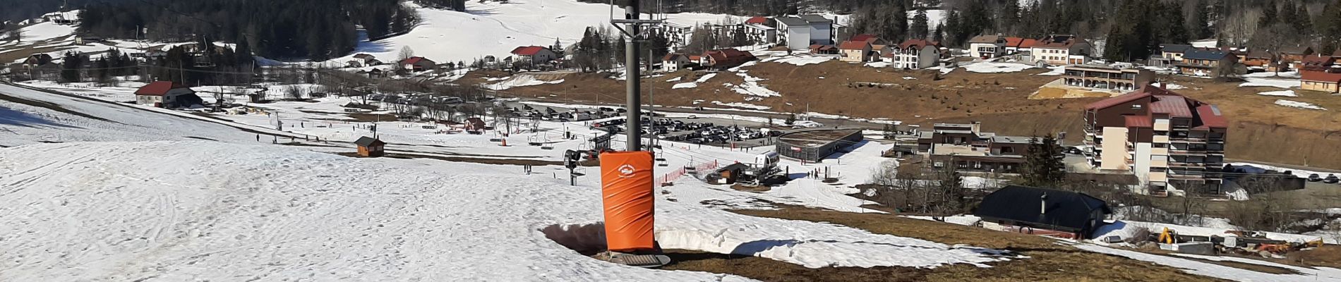
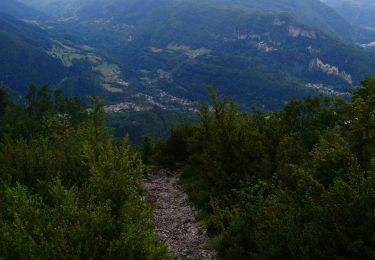
Randonnée Raquettes à neige de 14 km à découvrir à Bourgogne-Franche-Comté, Jura, Lamoura. Cette randonnée est proposée par cmike39.
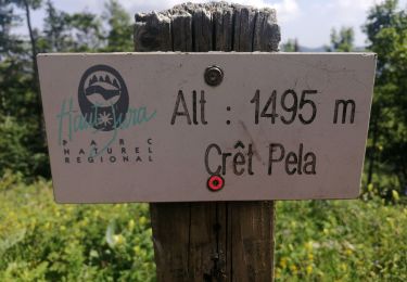
Zone de protection de biotope à proximité, interdites du 15 Décembre au 30 Juin.


Marche

Marche

Vélo

Course à pied

Marche
Cyclotourisme
Marche
Marche
Marche