


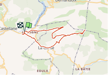

14,7 km | 19,5 km-effort

Utilisateur GUIDE


Application GPS de randonnée GRATUITE
 SityTrail
IGN / Instituts géographiques
SityTrail World
Le monde est à vous
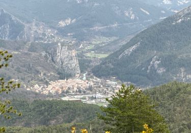
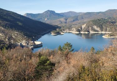
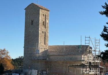
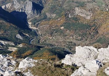
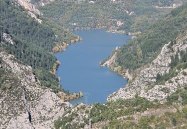
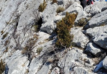
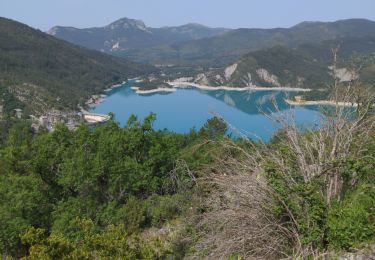
Randonnée Marche de 18,5 km à découvrir à Provence-Alpes-Côte d'Azur, Alpes-de-Haute-Provence, Castellane. Cette randonnée est proposée par jouans.


V.T.T.
Marche
Marche
Marche
Marche
Marche
Marche
Marche
Marche