Randonnée Marche Montigny-lès-Arsures - Montigny les Arsures  - Photo
 mig26
mig26

Utilisateur

© OpenStreetMap contributors
Longueur
Longueur
18,9 km
Altitude max
Altitude max
576 m
Dénivelé positif
Dénivelé positif
461 m
Km-Effort
Km-Effort  
25 km
Altitude min
Altitude min
283 m
Dénivelé négatif
Dénivelé négatif
459 m
Boucle
Boucle
Oui
Date de création :
2020-09-06 07:41:13.518
Dernière modification :
2020-09-06 14:04:12.004

(0 Avis)

Marche
Marche
5h04
Difficulté : Facile

Scannez ce code QR pour ouvrir la randonnée dans l'application SityTrail

Application GPS de randonnée GRATUITE

Logo SityTrail SityTrail

IGN / Instituts géographiques

Télécharger SityTrail sur l'App Store Télécharger SityTrail sur Google Play

Logo SityTrail SityTrail World

Le monde est à vous

Télécharger SityTrail sur l'App Store Télécharger SityTrail sur Google Play Télécharger SityTrail sur Huawei AppGallery

À propos

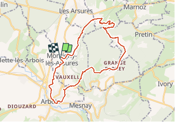
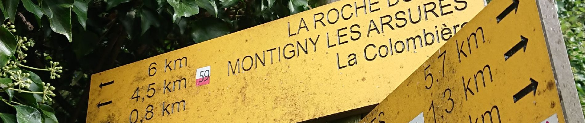
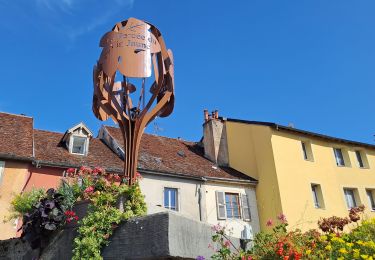
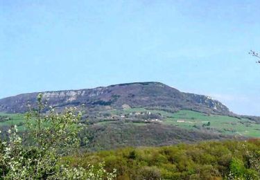
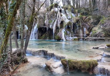
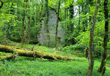
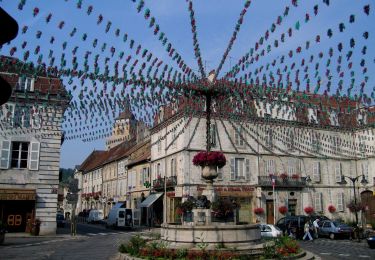
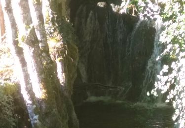
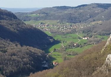
Randonnée Marche de 18,9 km à découvrir à Bourgogne-Franche-Comté, Jura, Montigny-lès-Arsures. Cette randonnée est proposée par mig26.

Profil altimétrique

Photos

Localisation

Pays :
France
Région :
Bourgogne-Franche-Comté
Département/Province :
Jura
Commune :
Montigny-lès-Arsures
Localité :
Unknown
Départ:(UTM)
711655 ; 5200446 (31T) N.

Randonnées à proximité

Randonnée Marche Arbois - Arbois Église Saint Just / Chapelle Notre Dame de l'Ermitage/ Cascade des Tufs/ Les Planches près d'Arbois / Cirque du Fer à Cheval / Belvédère de la Châtelaine/ La Roche du Feu/ Meslay/ Arbois  - Photo
Marche
thierry cachot

Marche

Difficile
(1)
Arbois, Bourgogne-Franche-Comté, Jura, France
23 km | 35 km-effort
6h 42min
Oui
Randonnée Marche Arbois - Arbois Pupillin Arbois - Photo
Marche
thierry cachot

Marche

Difficile
(1)
Arbois, Bourgogne-Franche-Comté, Jura, France
16,2 km | 22 km-effort
5h 0min
Oui
Randonnée Marche Arbois - Arbois Belvédère du Fer à Cheval Belvédère Châtelaine Cascade des Tufs Planches près d'Arbois La Roche du Feu Mesnay Arbois - Photo
Marche
thierry cachot

Marche

Difficile
(1)
Arbois, Bourgogne-Franche-Comté, Jura, France
23 km | 34 km-effort
6h 36min
Oui
Randonnée Marche Pagnoz - Colline et ruines du château de Vaulgrenant - Photo
Marche
tracegps

Marche

Facile
(1)
Pagnoz, Bourgogne-Franche-Comté, Jura, France
5,4 km | 7,9 km-effort
1h 30min
Oui
Randonnée Marche Arbois - Arbois Reculée des Planches - Photo
Marche
GUIDE
thonyc

Marche

Moyen
Arbois, Bourgogne-Franche-Comté, Jura, France
12,2 km | 16 km-effort
4h 10min
Non
Randonnée Marche Les Planches-près-Arbois - la reculée des planches - Photo
Marche
loca.yves

Marche

Moyen
Les Planches-près-Arbois, Bourgogne-Franche-Comté, Jura, France
15,7 km | 22 km-effort
5h 35min
Oui
Randonnée A pied Arbois - Entre Bois et Vignes - Photo
A pied
PRO

A pied

Facile
Arbois, Bourgogne-Franche-Comté, Jura, France
9,2 km | 13,1 km-effort
2h 58min
Oui
Randonnée Marche Marnoz - Marnoz Fort St André Fort Belin Salin 8 sept 2020 CAF - Photo
Marche
TRIMAILLE

Marche

Difficile
Marnoz, Bourgogne-Franche-Comté, Jura, France
21 km | 34 km-effort
5h 22min
Oui
Randonnée Marche Arbois - Reculée des Planches - Photo
Marche
Marfee

Marche

Moyen
(1)
Arbois, Bourgogne-Franche-Comté, Jura, France
23 km | 34 km-effort
7h 19min
Non


Fermer
Mes abonnements