


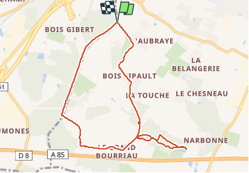


8,4 km | 10,1 km-effort

Utilisateur


Application GPS de randonnée GRATUITE
 SityTrail
IGN / Instituts géographiques
SityTrail World
Le monde est à vous
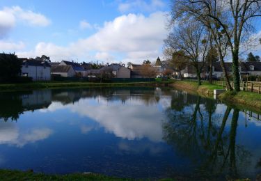
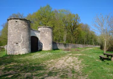
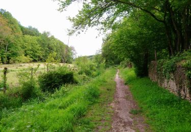
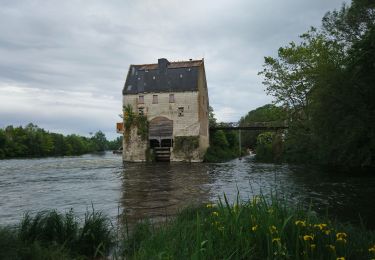
Randonnée Marche de 9,1 km à découvrir à Centre-Val de Loire, Indre-et-Loire, Joué-lès-Tours. Cette randonnée est proposée par gerardbenchetrit.
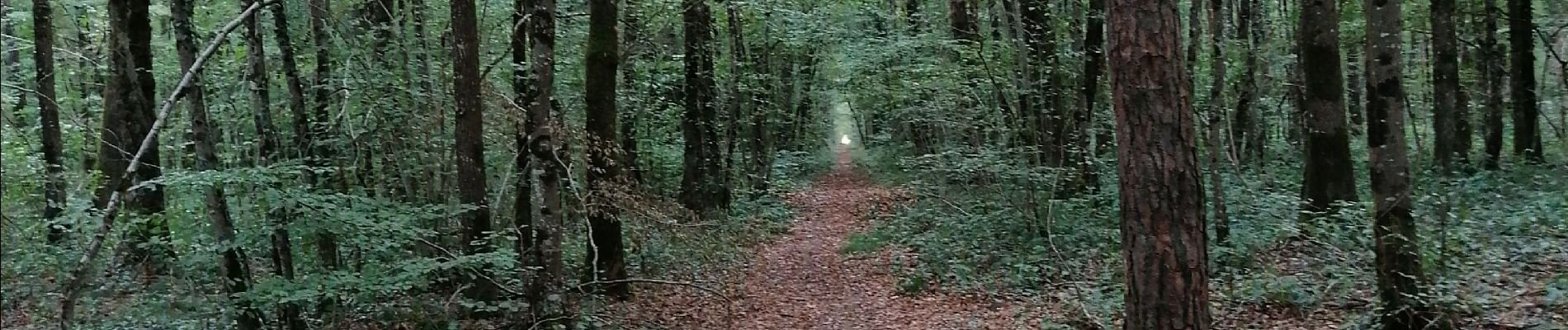
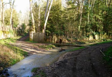
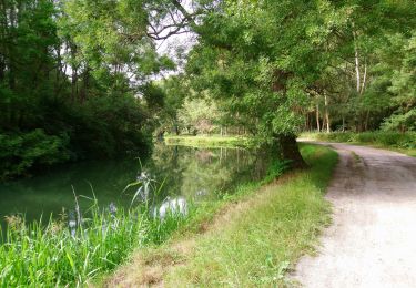
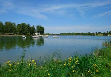
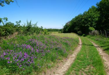
Chemin mi ombragé mi boisé ; champs calcicoles, vergers.


Marche
Marche
Marche
Marche
Marche
Marche
Marche
Marche

Marche