


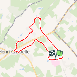

9,6 km | 12,1 km-effort

Utilisateur


Application GPS de randonnée GRATUITE
 SityTrail
IGN / Instituts géographiques
SityTrail World
Le monde est à vous
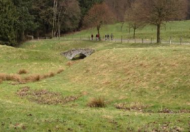
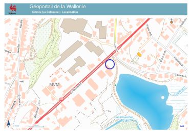
Randonnée Marche de 7 km à découvrir à Wallonie, Liège, Welkenraedt. Cette randonnée est proposée par Lychee.
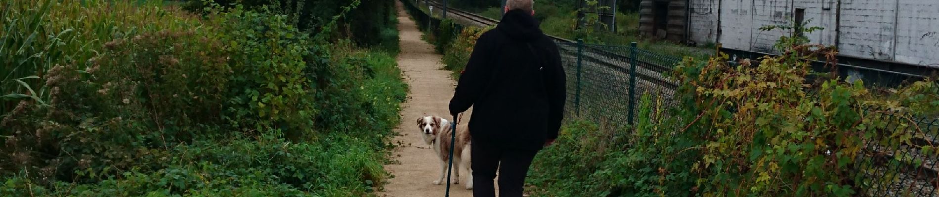
au départ de la clinique des frères Alexiens, puis en longeant le golf d'Henri Chapelle, pas très pratique, pas de chemin officiel, nous passons à travers le golf..... puis retour sur le ravel L39


Marche

Marche
Marche
Marche

Marche

Marche

Marche
Marche