


4,7 km | 6,2 km-effort

Utilisateur


Application GPS de randonnée GRATUITE
 SityTrail
IGN / Instituts géographiques
SityTrail World
Le monde est à vous
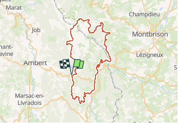
Randonnée V.T.T. de 72 km à découvrir à Auvergne-Rhône-Alpes, Puy-de-Dôme, Grandrif. Cette randonnée est proposée par tracegps.
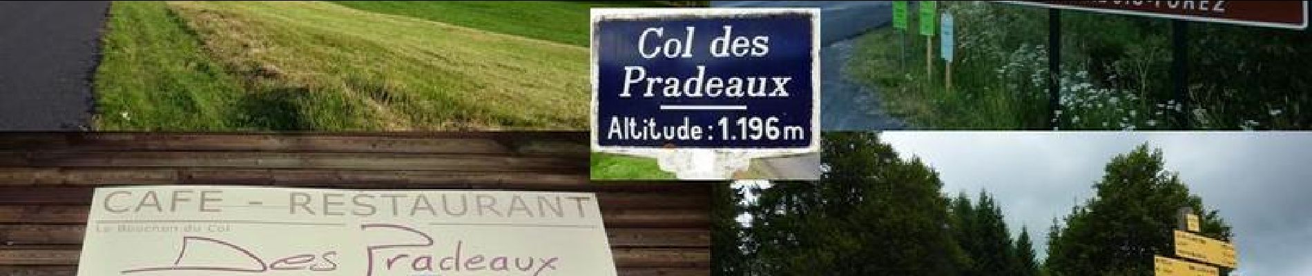
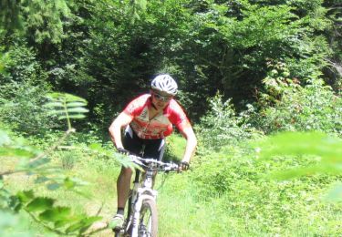
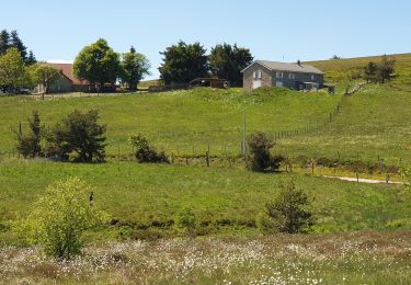
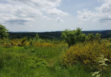
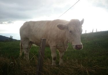
Parking et départ du Col des Pradeaux (alti. 1196 m) sur la RD 996 entre Ambert et Saint-Anthème. Cette randonnée VTT est organisée par le Centre VTT du Pays d’Ambert, elle se déroule chaque 1er dimanche du mois d’août et cette 8ème édition a eu lieu le dimanche 04 août 2013. Cerise sur le gâteau… le soleil et la douceur étaient de la partie. 3 circuits VTT sont proposés (25, 50 et 72 km) 2 circuits pédestres (8 et 16 km) 1 circuits de marche nordique, avec bâtons (5 km). Les circuits sont assez aériens car ils cheminent sur les Hautes Chaumes du Forez, à une altitude comprise entre 1000 et 1400m. Ce circuit VTT, d’un peu plus de 70 km, se révèle très agréable et sans grande difficulté majeure. Il y a ponctuellement des petits passages techniques dans la caillasse mais jamais longs et aussi de bonnes portions roulantes sur de belles pistes qui ressemblent à des boulevards. Passage à la fameuse Auberge de Garnier et sa cuisine de terroir (voir aussi le circuit 15707). Nombreux passages en sous bois avec quelques belles monotraces (single-track). Les paysages sont absolument magnifiques. Garder l’appareil photo à portée de main. Sur les Hautes Chaumes, le circuit traverse de nombreux enclos d’estives dont il faut ouvrir des barrières tubulaires et des clôtures électriques. Bien veiller à les refermer avant de quitter les lieux afin d’éviter toute fuite de bétail. Circuit interdit quand il y a de la neige ou par temps de brouillard. Se renseigner sur les conditions météo avant de monter et prévoir une veste imperméable. Topoguides : Centre VTT du Pays d’Ambert, 15 circuits balisés (O.T d’Ambert) ; Balades en Pays d’Ambert et Livradois Porte d’Auvergne, 20 circuits (O.T d’Ambert) ; Vallée de l’Ance, circuits VTT : 13 circuits (espace VTT N° 24) (O.T de Saint-Anthème) ; Vallée de l’Ance, circuits Pédestres : 15 circuits 1 micro rando 1 bonus (O.T de Saint-Anthème).
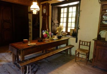
 - Col des Pradeaux - Photo 1")
 - Col des Pradeaux - Photo 2")
 - Col des Pradeaux - Photo 3")
 - Col des Pradeaux - Photo 4")
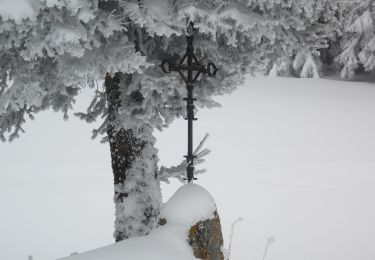
 - Col des Pradeaux - Photo 5")
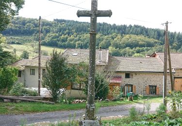
 - Col des Pradeaux - Photo 6")
A pied
A pied
A pied

Marche
V.T.T.
Marche

A pied
Marche
Marche