


10,7 km | 14,4 km-effort

Utilisateur


Application GPS de randonnée GRATUITE
 SityTrail
IGN / Instituts géographiques
SityTrail World
Le monde est à vous
Randonnée Marche de 5,5 km à découvrir à Normandie, Seine-Maritime, Le Tréport. Cette randonnée est proposée par tracegps.
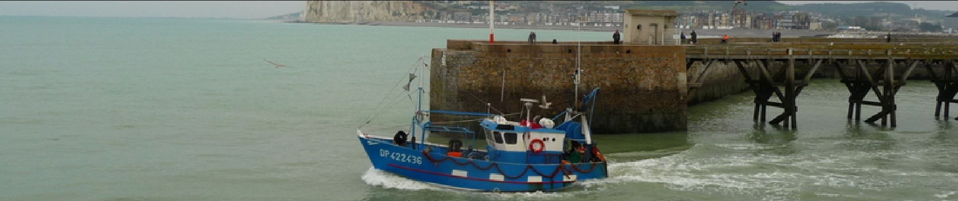
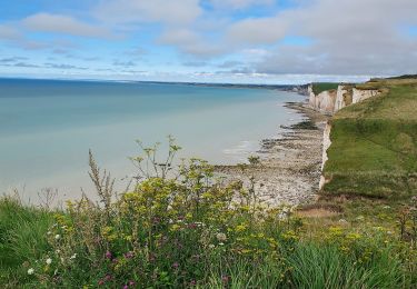
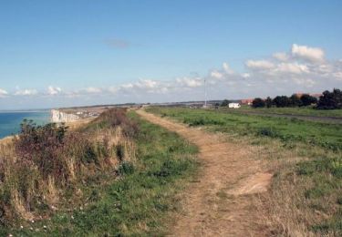
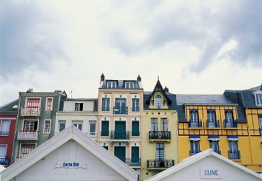
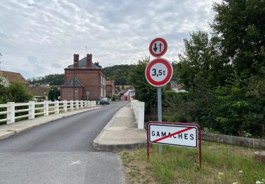
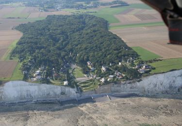
Le Tréport se niche au pied des plus hautes falaises de craie vive d’Europe. Dès le 19ème siècle, la station fut appréciée des amateurs de bains de mer et sa fréquentation grandit avec l’arrivée des joyeux trains de plaisir et des congés payés. Le ballet des bateaux de pèche anime le port au rythme des marées. Au gré des saisons, les étales de poissons se remplissent de coquilles Saint-Jacques, harengs, cabillauds, maquereaux, moules et crevettes fraîchement pêchés. La plage de sable et de galets située au pied des falaises de craie les plus hautes d'Europe (106 m) est un attrait sans pareil. Quant aux possibilités de balades, elles sont innombrables. Station balnéaire de 6 000 habitants, Le Tréport voit sa population tripler durant la période estivale. ® Départ : Place de la Poissonnerie.


Marche
Marche
Marche
Vélo de route
A pied
Marche

V.T.T.
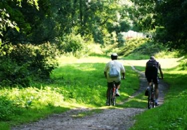
Marche
Marche