


13,4 km | 24 km-effort
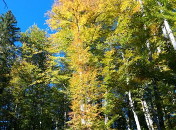
Mégevette : découvrez les meilleures randonnées : 12 marche et 1 marche nordique. Tous ces circuits, parcours, itinéraires et activités en plein air sont disponibles dans nos applications SityTrail pour smartphones et tablettes.
Marche


Marche

Marche
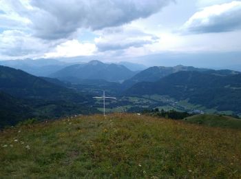
• pointe des folyes
Marche
• petite boucle très facile au départ de Megevette. C'est, en raccourci la boucle des oratoires, et en sens inverse, po...
Marche
• marche

Marche nordique
• Sud Nord
Marche
Marche
Marche
Marche
Marche
Marche
Marche
13 randonnées affichées sur 13
Application GPS de randonnée GRATUITE
 SityTrail
IGN / Instituts géographiques
SityTrail World
Le monde est à vous