


8,4 km | 15,5 km-effort


Usuario


Aplicación GPS de excursión GRATIS
 SityTrail
IGN / Institutos geográficos
SityTrail World
El mundo es suyo
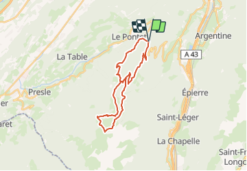
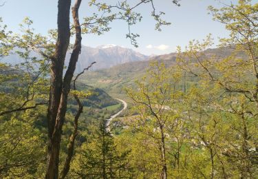
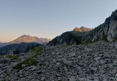
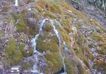
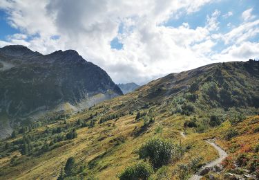
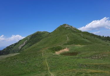
Ruta de 26 km a descubrir en Auvergne-Rhône-Alpes, Saboya, Saint-Alban-d'Hurtières. Esta ruta ha sido propuesta por veroquilics.
Senderismo
Senderismo
Senderismo
Senderismo
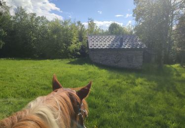
Paseo ecuestre
Senderismo
Senderismo
Senderismo
Senderismo