


8,1 km | 12,3 km-effort


Usuario


Aplicación GPS de excursión GRATIS
 SityTrail
IGN / Institutos geográficos
SityTrail World
El mundo es suyo
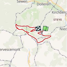
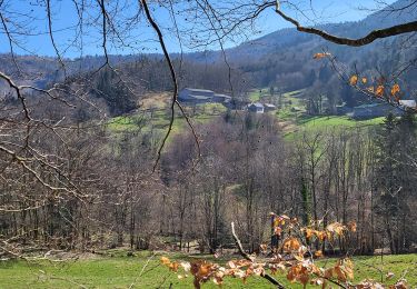
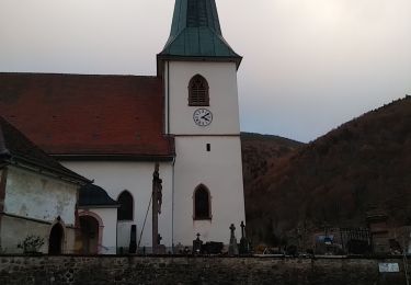
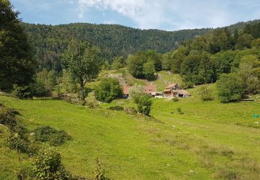
Ruta Senderismo de 11,7 km a descubrir en Gran Este, Alto Rin, Kirchberg. Esta ruta ha sido propuesta por patrickbeyrath.
Parking Lachtelweiher - Abri Sommerseite - direction Abri Graber puis GR531 Fennemeatt - Source de la Doller - Lochberg et retour par rectangle rouge blanc rouge en dessous du Baerenkopf

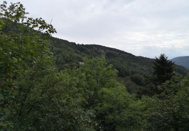
Senderismo
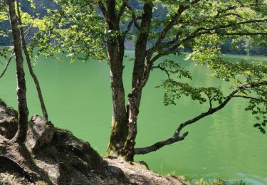
Senderismo
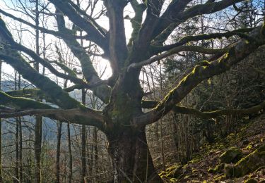
Senderismo

Senderismo

Senderismo
Senderismo
Senderismo
Senderismo
Senderismo