


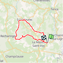

62 km | 83 km-effort


User


FREE GPS app for hiking
 SityTrail
IGN / Geographical institutes
SityTrail World
The world is yours!
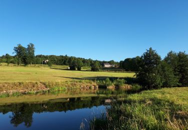
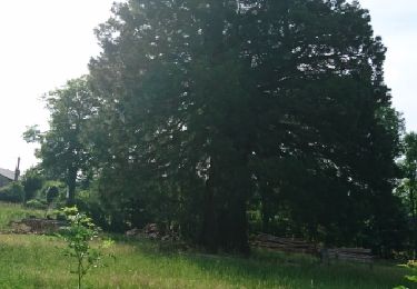
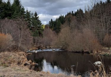
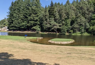
Trail Mountain bike of 25 km to be discovered at Auvergne-Rhône-Alpes, Haute-Loire, Mazet-Saint-Voy. This trail is proposed by marc6262.
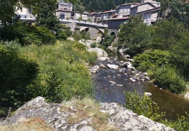
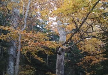
Du granit et de l'ardoise
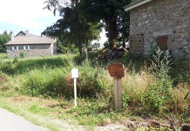
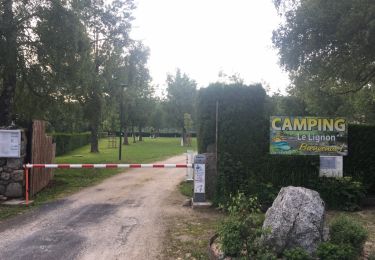
Quelques passages de portage mais pas compliqué

Hybrid bike
Walking
Walking
Walking
Walking
Walking
Walking
Walking
Walking