


10 km | 14.1 km-effort


User


FREE GPS app for hiking
 SityTrail
IGN / Geographical institutes
SityTrail World
The world is yours!
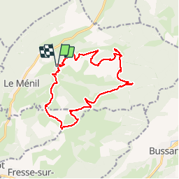
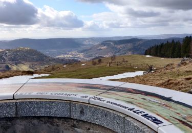
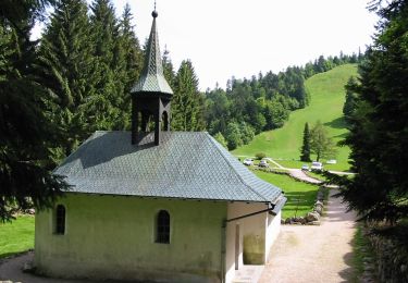
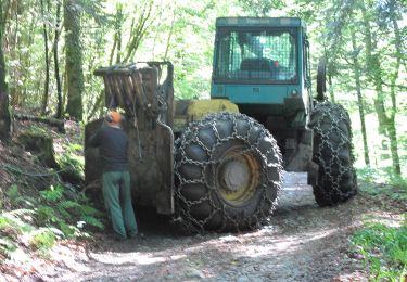
Trail Walking of 16.2 km to be discovered at Grand Est, Vosges, Le Ménil. This trail is proposed by nfranche.
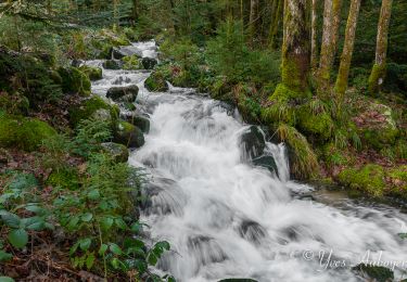
Belle randonnée avec beaucoup de points de vue ! Le passage par le Four aux Fées est intéressant car il nous fait quitter la route pour un sentier forestier très agréable.
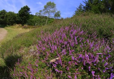
Walking

Snowshoes

Mountain bike
Walking
On foot

On foot
On foot
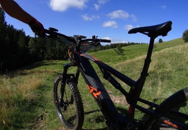
Mountain bike
Mountain bike